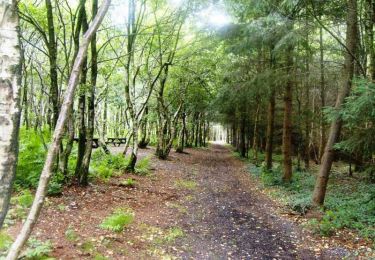
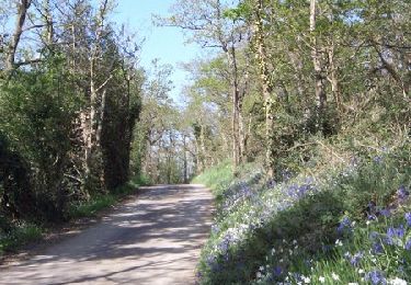
11.1 km | 13.7 km-effort
la boucle de la Gouvette
© OpenStreetMap contributors
Walking
2h46
Difficulty : Difficult
Length
9.6 km
Max alt
219 m
Uphill gradient
194 m
Km-Effort
12.2 km
Min alt
99 m
Downhill gradient
192 m
Boucle
Yes
Creation date :
2022-06-04 09:32:10.969
Updated on :
2024-11-09 17:36:29.623
2h46
Difficulty : Difficult
FREE GPS app for hiking
About
Trail Walking of 9.6 km to be discovered at Normandy, Manche, Gouvets. This trail is proposed by florence.martin-tabac.
Positioning
Country:
France
Region :
Normandy
Department/Province :
Manche
Municipality :
Gouvets
Location:
Unknown
Start:(Dec)
Start:(UTM)
639497 ; 5421595 (30U) N.
Comments
Trails nearby
La randonnée des Bruyéres
Mountain bike
Medium
Gouvets,
Normandy,
Manche,
France
15.5 km | 19.9 km-effort
1h 30min
Yes
La randonnée des Bruyéres
Walking
Difficult
Gouvets,
Normandy,
Manche,
France
15.5 km | 19.9 km-effort
4h 0min
Yes
Tessy-sur-Vire - C 13-V
Walking
Easy
Tessy-Bocage,
Normandy,
Manche,
France
3.4 km | 4.1 km-effort
1h 0min
Yes
Tessy-sur-Vire - C 13-II
Mountain bike
Easy
Tessy-Bocage,
Normandy,
Manche,
France
8.8 km | 10.5 km-effort
1h 0min
Yes
Tessy-sur-Vire - C 13-II
Walking
Medium
Tessy-Bocage,
Normandy,
Manche,
France
8.8 km | 10.5 km-effort
2h 15min
Yes
Tessy-sur-Vire - C 13-I
Walking
Easy
Tessy-Bocage,
Normandy,
Manche,
France
3.6 km | 4.7 km-effort
1h 0min
Yes
Circuit de Fourneaux - C11-I
Mountain bike
Easy
Fourneaux,
Normandy,
Manche,
France
5.6 km | 6.9 km-effort
30min
Yes
Circuit de Fourneaux - C11-I
Walking
Easy
Fourneaux,
Normandy,
Manche,
France
5.6 km | 6.9 km-effort
1h 30min
Yes