21 km | 31 km-effort
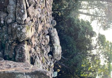
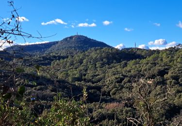
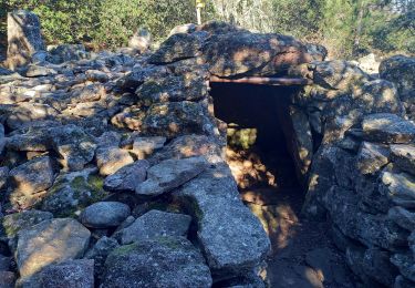
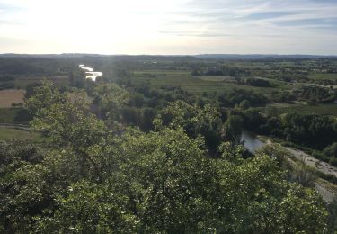
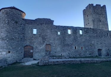
Chateau de Montmoirac et berges du Gardon
JMJ42
User
Length
27 km
Max alt
172 m
Uphill gradient
274 m
Km-Effort
31 km
Min alt
99 m
Downhill gradient
274 m
Boucle
Yes
Creation date :
2022-06-01 20:56:47.679
Updated on :
2022-06-03 13:11:58.754
2h09
Difficulty : Easy
FREE GPS app for hiking
About
Trail Mountain bike of 27 km to be discovered at Occitania, Gard, Boisset-et-Gaujac. This trail is proposed by JMJ42.
Positioning
Country:
France
Region :
Occitania
Department/Province :
Gard
Municipality :
Boisset-et-Gaujac
Location:
Unknown
Start:(Dec)
Start:(UTM)
581759 ; 4877807 (31T) N.
Comments
Trails nearby
LG078CévennesEntr
Walking
Easy
(1)
Boisset-et-Gaujac,
Occitania,
Gard,
France
6.1 km | 7.2 km-effort
1h 35min
Yes
Boisset Anduze Tornac Massane Ribaute
Mountain bike
Medium
(1)
Boisset-et-Gaujac,
Occitania,
Gard,
France
34 km | 40 km-effort
2h 45min
Yes
Boisset - Boucoiran
Cycle
Medium
(1)
Boisset-et-Gaujac,
Occitania,
Gard,
France
44 km | 51 km-effort
Unknown
Yes