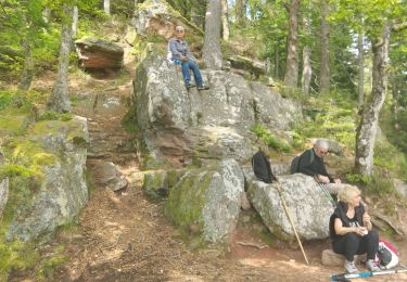
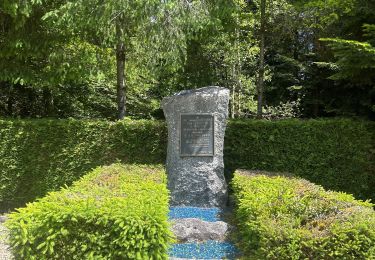
Trail  Saint-Léonard - US TRAIL 5 : BORNE 6 - LE BATAILLON PERDU - Photo

US TRAIL 5 : BORNE 6 - LE BATAILLON PERDU

 lacote
lacote

User

© OpenStreetMap contributors
Length
Length
9.6 km
Max alt
Max alt
710 m
Uphill gradient
Uphill gradient
290 m
Km-Effort
Km-Effort  
13.5 km
Min alt
Min alt
503 m
Downhill gradient
Downhill gradient
292 m
Boucle
Boucle
Yes
Creation date :
2022-06-01 16:44:17.429
Updated on :
2022-06-01 16:44:43.45

(1 Reviews)


Scan this QR Code to open this trail in the SityTrail application

FREE GPS app for hiking

Logo SityTrail SityTrail

IGN / Geographical institutes

Download SityTrail from the App Store Download SityTrail from Google Play

Logo SityTrail SityTrail World

The world is yours!

Download SityTrail from the App Store Download SityTrail from Google Play Download SityTrail on Huawei AppGallery

About

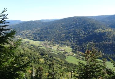
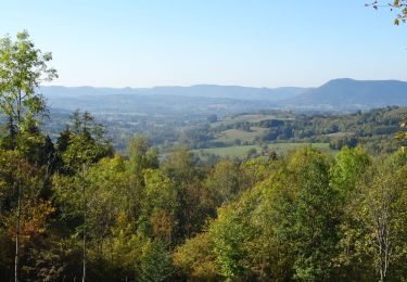
Trail of 9.6 km to be discovered at Grand Est, Vosges, Saint-Léonard. This trail is proposed by lacote.

Description

Pour rejoindre le point de départ : Depuis Bruyères, prendre la direction de Gérardmer par la D11, puis prendre à gauche direction Corcieux. Avant la Chapelle devant Bruyères, prendre à gauche en direction de la Houssière. Continuer jusqu'au village de Vanémont et se garer au centre du bourg.

Elevation profile

Positioning

Country:
France
Region :
Grand Est
Department/Province :
Vosges
Municipality :
Saint-Léonard
Location:
Unknown
Start:(UTM)
342574 ; 5340947 (32U) N.

Comments

Please log in to post a review or rate the element


Trails nearby

Trail Walking Saulcy-sur-Meurthe - Massif du KEMBERG - Photo
Walking
Dominique48

Walking

Very difficult
Saulcy-sur-Meurthe, Grand Est, Vosges, France
12.6 km | 20 km-effort
4h 45min
Yes
Trail Walking La Houssière - Marmonfosse - Photo
Walking
francoisecarlier

Walking

Medium
La Houssière, Grand Est, Vosges, France
15.4 km | 20 km-effort
4h 35min
Yes
Trail Walking Saulcy-sur-Meurthe - Les roches du Kemberg - Photo
Walking
francoisecarlier

Walking

Difficult
Saulcy-sur-Meurthe, Grand Est, Vosges, France
9.4 km | 14.1 km-effort
3h 12min
Yes
Trail Walking Saulcy-sur-Meurthe - après JP et mat. - Photo
Walking
Thierry Cotty

Walking

Medium
Saulcy-sur-Meurthe, Grand Est, Vosges, France
7.3 km | 9.5 km-effort
1h 51min
Yes
Trail Horseback riding La Chapelle-devant-Bruyères - Acpl la chapelle devant bruyères  - Photo
Horseback riding
GUIDE
raline

Horseback riding

Very easy
La Chapelle-devant-Bruyères, Grand Est, Vosges, France
30 km | 40 km-effort
5h 32min
Yes
Trail Horseback riding Taintrux - 2018-10-12 Rando CVA Vosges Prof Taintrux Xonrupt - Photo
Horseback riding
GUIDE
holtzv

Horseback riding

Easy
Taintrux, Grand Est, Vosges, France
25 km | 36 km-effort
4h 33min
No
Trail Horseback riding Taintrux - 2018-10-10 Rando CVA Vosges Prof Taintrux Ban De Laveline - Photo
Horseback riding
GUIDE
holtzv

Horseback riding

Easy
Taintrux, Grand Est, Vosges, France
25 km | 35 km-effort
4h 13min
No
Trail Equestrian Anould - corcieux attelage  - Photo
Equestrian
GUIDE
raline

Equestrian

Easy
Anould, Grand Est, Vosges, France
9.1 km | 12.5 km-effort
1h 35min
No
Trail Other activity Corcieux - au mica 4x4 - Photo
Other activity
mdlemckert

Other activity

Very easy
Corcieux, Grand Est, Vosges, France
40 km | 50 km-effort
Unknown
Yes


Close
My subscriptions