


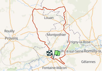

65 km | 72 km-effort


User GUIDE


FREE GPS app for hiking
 SityTrail
IGN / Geographical institutes
SityTrail World
The world is yours!
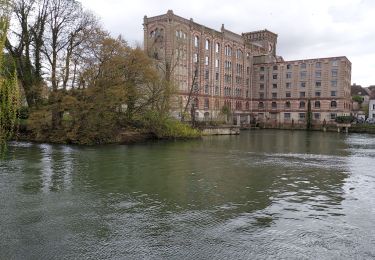
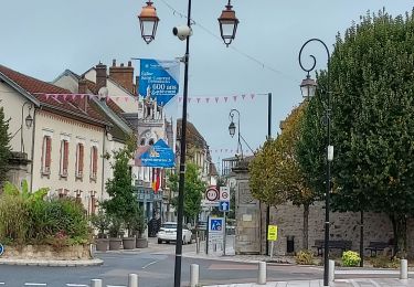
Trail Road bike of 66 km to be discovered at Grand Est, Aube, Nogent-sur-Seine. This trail is proposed by Specialized77.
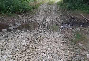
Eviter passage à Marnay sur Seine en fin de parcours car obligation d'emprunter la D619 à fort trafic de poids lourds . Crochet par St. Aubin sans grand intérêt.


Road bike
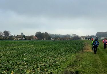
Walking
Walking
Walking
Hybrid bike
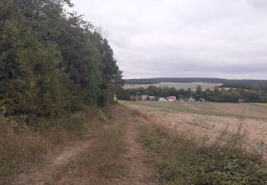
Walking
Walking

Cycle

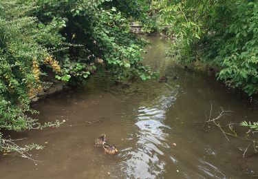
Walking