


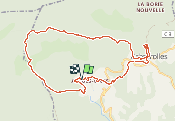

13.2 km | 21 km-effort


User


FREE GPS app for hiking
 SityTrail
IGN / Geographical institutes
SityTrail World
The world is yours!
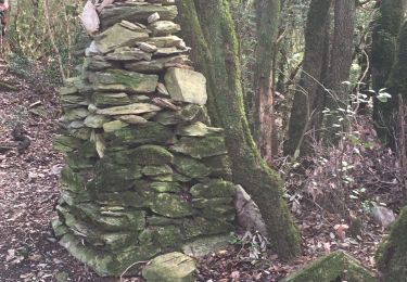
Trail Walking of 13 km to be discovered at Occitania, Hérault, Cabrerolles. This trail is proposed by Cabaretou.
La rando en vidéo :
https://youtu.be/DJIxxUdDJi0

Walking

On foot

Mountain bike
Walking
Walking

On foot
Walking

Walking
Walking