


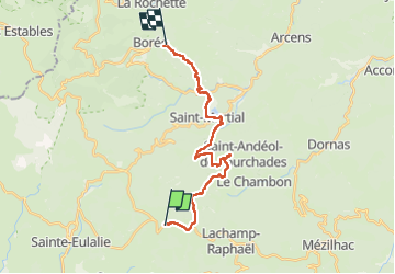

16.1 km | 24 km-effort


User


FREE GPS app for hiking
 SityTrail
IGN / Geographical institutes
SityTrail World
The world is yours!
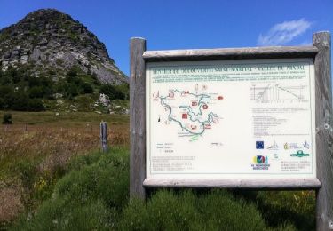
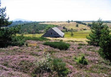
Trail Walking of 22 km to be discovered at Auvergne-Rhône-Alpes, Ardèche, Saint-Andéol-de-Fourchades. This trail is proposed by thomas.o.vert.


Walking
Walking
Walking

Walking

Walking

Walking

Walking
Walking
Equestrian
Descente après Saint Martial en très mauvais état et dangereuse