


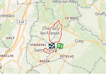


10.5 km | 18.5 km-effort

User


FREE GPS app for hiking
 SityTrail
IGN / Geographical institutes
SityTrail World
The world is yours!
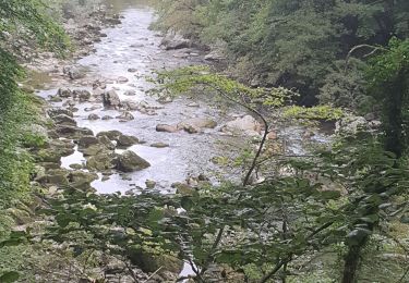
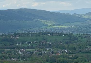
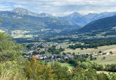
Trail Walking of 9.9 km to be discovered at Auvergne-Rhône-Alpes, Upper Savoy, Cusy. This trail is proposed by lemarchandjp.
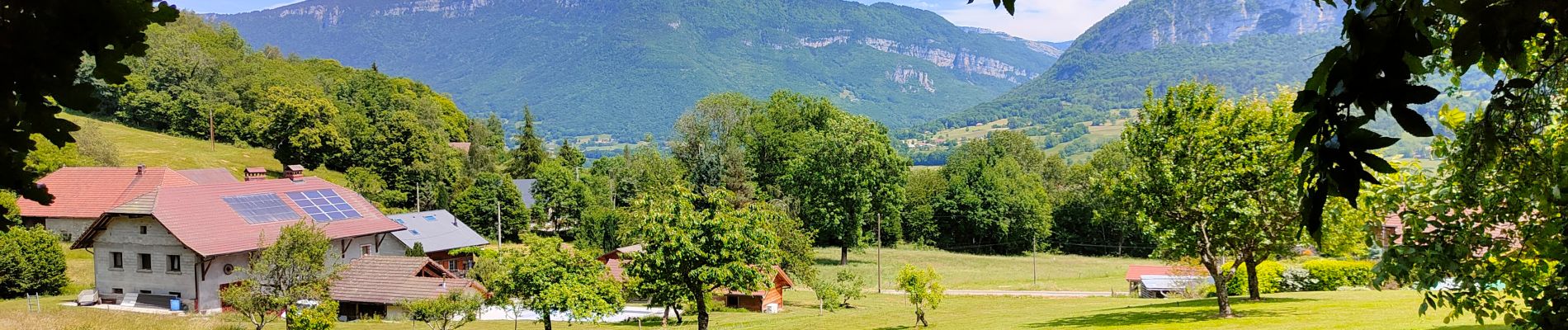
très facile et pano

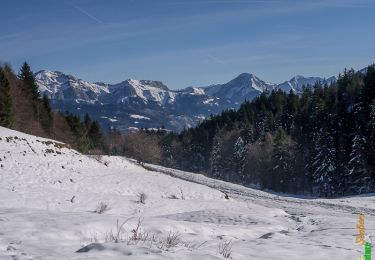
Walking
Walking
Walking

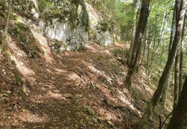
Walking


sport
Walking
Walking
Walking

Walking