


4.7 km | 6.2 km-effort

User


FREE GPS app for hiking
 SityTrail
IGN / Geographical institutes
SityTrail World
The world is yours!
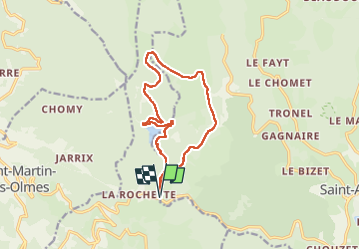
Trail Walking of 12.9 km to be discovered at Auvergne-Rhône-Alpes, Puy-de-Dôme, Grandrif. This trail is proposed by swp648.
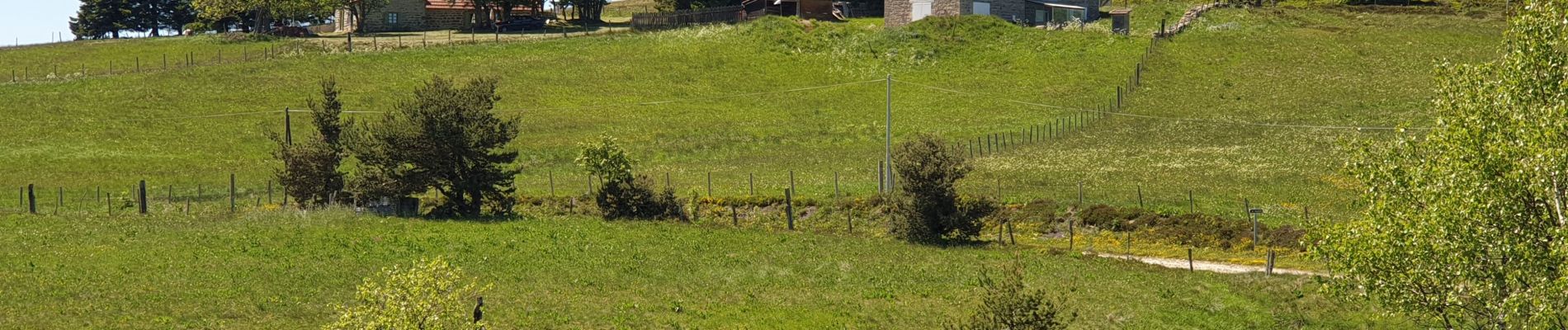
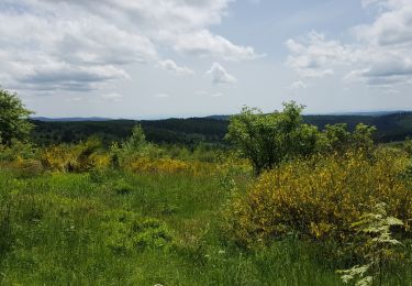
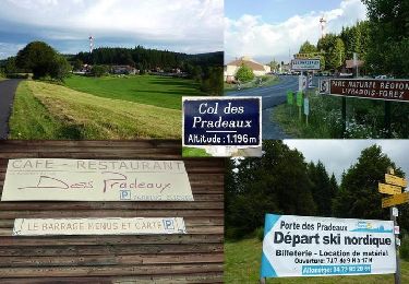
Belle variante en contournant le barrage du Pradeaux par rive gauche, puis découverte des Jasseries de la Fayolle où l'on découvre de belles prairies fleuries.
Randonnée faite le 28 mai 2022.


On foot
On foot
On foot
Walking
Walking

Walking
Mountain bike
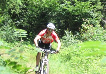
Mountain bike

On foot