


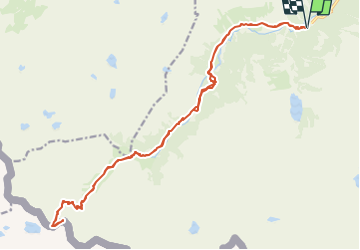

11.4 km | 17.5 km-effort


User


FREE GPS app for hiking
 SityTrail
IGN / Geographical institutes
SityTrail World
The world is yours!
Trail Walking of 25 km to be discovered at Occitania, Hautespyrenees, Cauterets. This trail is proposed by mitch1952.
Marche d' approche très longue , présence d' un névé tardif parfois jusqu' en juillet avant d' arrivée au Port du Marcadau .
Du port du Marcadau prendre à gauche le cheminement de l' arête , ce n' est pas aérien si l' on est à l' aise . Retour très long . Bonne condition physique exigée .
IBP 135 Cotation E5 T3 R3

Walking

Walking

Walking

Walking

Walking

Walking

Walking
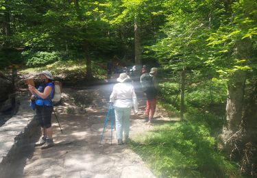
Walking
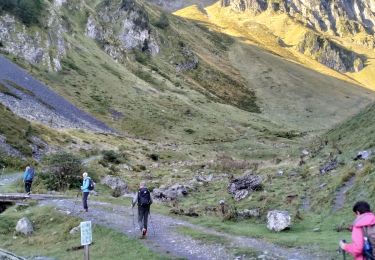
Walking