


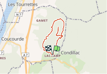

14.9 km | 25 km-effort

User


FREE GPS app for hiking
 SityTrail
IGN / Geographical institutes
SityTrail World
The world is yours!
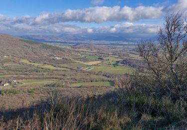
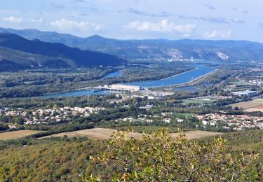
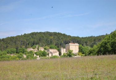
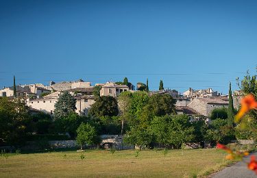
Trail Walking of 6.3 km to be discovered at Auvergne-Rhône-Alpes, Drôme, La Coucourde. This trail is proposed by parastat.
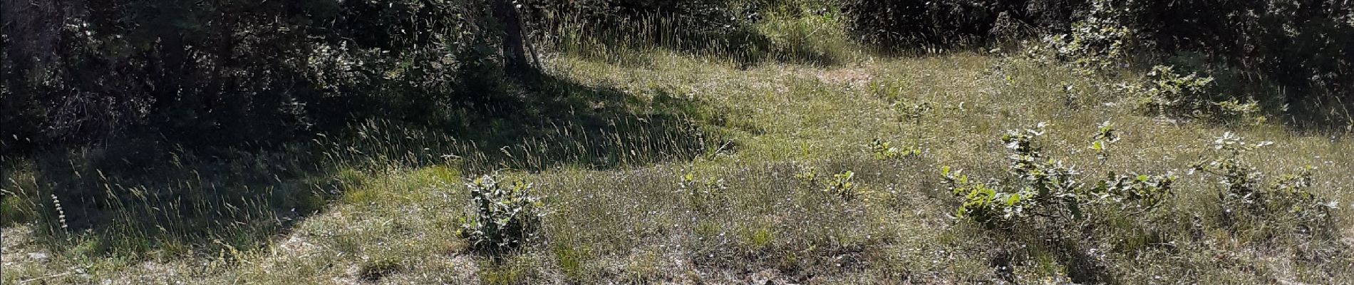
IL est dommage de ne pas faire l'aller retour jusqu'au sommet, borne, point côté, pas beaucoup de vue mais le petit sentier est bien sympa.


Walking
Walking
Walking
Walking
Walking

Walking
Walking

Walking

Motor