


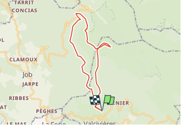

9.5 km | 13.3 km-effort

User


FREE GPS app for hiking
 SityTrail
IGN / Geographical institutes
SityTrail World
The world is yours!
Trail Walking of 15.1 km to be discovered at Auvergne-Rhône-Alpes, Puy-de-Dôme, Valcivières. This trail is proposed by pierrebmw84.


Walking

Walking

On foot
On foot
On foot
On foot
On foot
Road bike
Walking
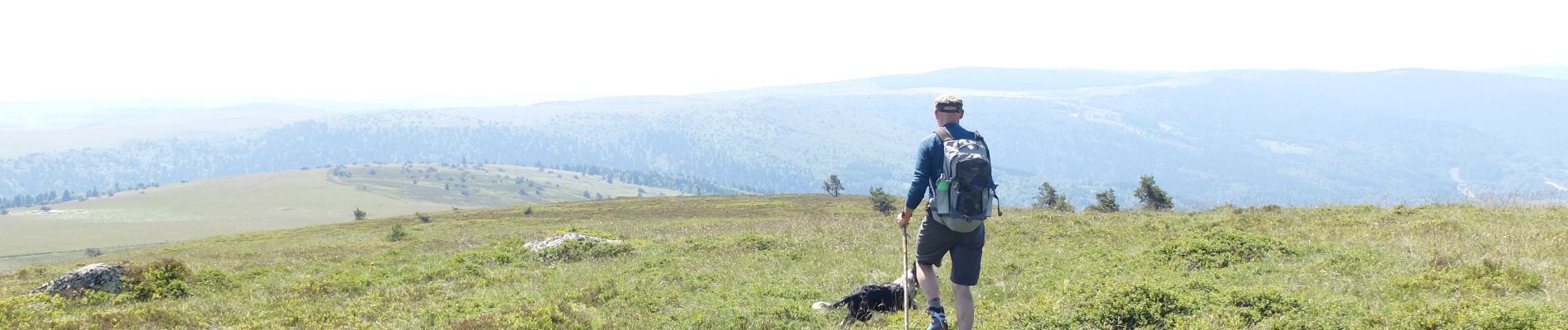
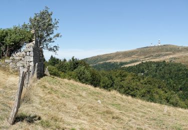
belle rando en forêt et en montagne avec la vue sur les brasseries.