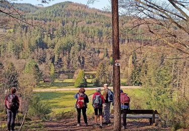
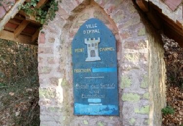
Trail Walking Archettes - aller archettes cimetiere américain - Photo

aller archettes cimetiere américain

 lacote
lacote

User

© OpenStreetMap contributors
Length
Length
6.6 km
Max alt
Max alt
392 m
Uphill gradient
Uphill gradient
104 m
Km-Effort
Km-Effort  
7.9 km
Min alt
Min alt
334 m
Downhill gradient
Downhill gradient
80 m
Boucle
Boucle
No
Creation date :
2022-05-25 06:07:04.636
Updated on :
2022-05-25 06:13:40.559

(0 Reviews)

Walking
Walking
1h48
Difficulty : Medium

Scan this QR Code to open this trail in the SityTrail application

FREE GPS app for hiking

Logo SityTrail SityTrail

IGN / Geographical institutes

Download SityTrail from the App Store Download SityTrail from Google Play

Logo SityTrail SityTrail World

The world is yours!

Download SityTrail from the App Store Download SityTrail from Google Play Download SityTrail on Huawei AppGallery

About

Trail Walking of 6.6 km to be discovered at Grand Est, Vosges, Archettes. This trail is proposed by lacote.

Description

depart centre archettes..Emprunter le circuit de la Moselle
Traverser l'ex rooute nationale..et ensuite longuer CODEPA sur lle chemin goudronné qui monte à Lamenil...
a 50 m.. traverser le petit ruisseau et monter un chemin herbeux.. jusqu'au canal... il y a un gros arbre en travers.. ensuite longer la rigole jusqu'au cimetiere.. quand tu vois des batiments a ta droite tu empruntes le chemin a droite et tu continues toujours a droite pour arriver au cimetiere

Elevation profile

Positioning

Country:
France
Region :
Grand Est
Department/Province :
Vosges
Municipality :
Archettes
Location:
Unknown
Start:(UTM)
316540 ; 5333072 (32U) N.

Trails nearby

Trail On foot Épinal - uzefaing   2  la grenouille - Photo
On foot
BernardHumeau

On foot

Medium
Épinal, Grand Est, Vosges, France
18.1 km | 23 km-effort
5h 17min
Yes
Trail Walking Épinal - 2016 03 22 - Photo
Walking
michelbauby

Walking

Easy
Épinal, Grand Est, Vosges, France
8.9 km | 12.4 km-effort
3h 8min
Yes
Trail Walking Jarménil - haut jarmenil 2 - Photo
Walking
lacote

Walking

Medium
(1)
Jarménil, Grand Est, Vosges, France
12.3 km | 16.8 km-effort
2h 39min
Yes
Trail Walking Hadol - hadol - Photo
Walking
leglaudinet

Walking

Very easy
Hadol, Grand Est, Vosges, France
11.3 km | 13.6 km-effort
Unknown
Yes
Trail Walking Hadol - 2010-09-05 - 12h00m55 - Photo
Walking
leglaudinet

Walking

Very easy
(1)
Hadol, Grand Est, Vosges, France
11.3 km | 13.6 km-effort
Unknown
Yes
Trail Walking Éloyes - Éloyes - Photo
Walking
jpblimond

Walking

Medium
Éloyes, Grand Est, Vosges, France
12.3 km | 17.2 km-effort
3h 12min
Yes
Trail Walking Épinal - fontaine - Photo
Walking
randolea

Walking

Medium
Épinal, Grand Est, Vosges, France
5.8 km | 7.6 km-effort
1h 29min
Yes
Trail Walking Pouxeux - Pouxeux  - Photo
Walking
STjmd300945

Walking

Difficult
Pouxeux, Grand Est, Vosges, France
11.9 km | 15.7 km-effort
2h 57min
Yes
Trail Walking Épinal - spinaparc - Photo
Walking
STjmd300945

Walking

Difficult
Épinal, Grand Est, Vosges, France
10.1 km | 13.9 km-effort
3h 9min
Yes


Close
My subscriptions