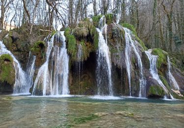
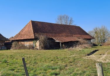
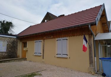
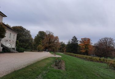
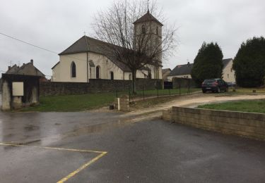
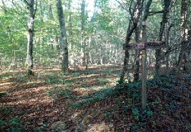
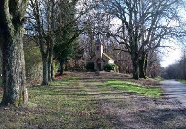
Trail Walking Torpes - Bresse - Photo
© OpenStreetMap contributors
Length
Length
7.3 km
Max alt
Max alt
209 m
Uphill gradient
Uphill gradient
70 m
Km-Effort
Km-Effort  
8.2 km
Min alt
Min alt
183 m
Downhill gradient
Downhill gradient
69 m
Boucle
Boucle
Yes
Creation date :
2021-07-21 08:09:39.306
Updated on :
2022-05-24 14:23:03.772

(0 Reviews)

Walking
Walking
2h00
Difficulty : Medium

Scan this QR Code to open this trail in the SityTrail application

FREE GPS app for hiking

Logo SityTrail SityTrail

IGN / Geographical institutes

Download SityTrail from the App Store Download SityTrail from Google Play

Logo SityTrail SityTrail World

The world is yours!

Download SityTrail from the App Store Download SityTrail from Google Play Download SityTrail on Huawei AppGallery

About

Trail Walking of 7.3 km to be discovered at Bourgogne-Franche-Comté, Saône-et-Loire, Torpes. This trail is proposed by ALAIN CAUFRIEZ.

Description

hubert 21 juillet 2021

Elevation profile

Positioning

Country:
France
Region :
Bourgogne-Franche-Comté
Department/Province :
Saône-et-Loire
Municipality :
Torpes
Location:
Unknown
Start:(UTM)
677591 ; 5191892 (31T) N.

Trails nearby

Trail Walking Gevry - Rando l’Île du Girard - Photo
Walking
albert39

Walking

Easy
(1)
Gevry, Bourgogne-Franche-Comté, Jura, France
11.1 km | 11.6 km-effort
2h 37min
Yes
Trail Walking Lessard-en-Bresse - mesnay confiture - Photo
Walking
claudia71440

Walking

Easy
Lessard-en-Bresse, Bourgogne-Franche-Comté, Saône-et-Loire, France
65 km | 78 km-effort
2h 52min
No
Trail Hybrid bike Diconne - Les Jacquards  - Photo
Hybrid bike
mallovon

Hybrid bike

Very easy
Diconne, Bourgogne-Franche-Comté, Saône-et-Loire, France
5.6 km | 6.1 km-effort
44min
Yes
Trail On foot Les Deux-Fays - Circuits des 19 Etangs - Photo
On foot
GUIDE+

On foot

Easy
Les Deux-Fays, Bourgogne-Franche-Comté, Jura, France
8.3 km | 9.3 km-effort
2h 7min
No
Trail Walking Sellières - Sellière Toulouse le Château 5 août 2021 (IBP 62) CAF - Photo
Walking
TRIMAILLE

Walking

Medium
Sellières, Bourgogne-Franche-Comté, Jura, France
23 km | 29 km-effort
6h 10min
Yes
Trail Walking Plainoiseau - etoile jura - Photo
Walking
phileasy

Walking

Medium
Plainoiseau, Bourgogne-Franche-Comté, Jura, France
17.4 km | 24 km-effort
5h 38min
Yes
Trail Walking Vers-sous-Sellières - f)Etapa 6 - Photo
Walking
RafaTuareg

Walking

Medium
Vers-sous-Sellières, Bourgogne-Franche-Comté, Jura, France
30 km | 33 km-effort
4h 0min
No
Trail Walking Sergenaux - Sentier Jacquot - Photo
Walking
albert39

Walking

Very easy
Sergenaux, Bourgogne-Franche-Comté, Jura, France
6.2 km | 7.1 km-effort
2h 23min
Yes
Trail Nordic walking Rahon - Rahon - N. D. du Bois - Photo
Nordic walking
albert39

Nordic walking

Difficult
Rahon, Bourgogne-Franche-Comté, Jura, France
8.8 km | 10 km-effort
2h 0min
Yes


Close
My subscriptions