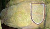
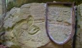
Trail Walking Beaufort - 20220524 - Beaufort 11.3 Km - Photo

20220524 - Beaufort 11.3 Km

 pierreh01
pierreh01

User GUIDE

© OpenStreetMap contributors
Length
Length
11.3 km
Max alt
Max alt
394 m
Uphill gradient
Uphill gradient
234 m
Km-Effort
Km-Effort  
14.4 km
Min alt
Min alt
253 m
Downhill gradient
Downhill gradient
230 m
Boucle
Boucle
Yes
Creation date :
2022-05-24 08:50:35.552
Updated on :
2022-05-25 20:43:13.995

(0 Reviews)

Walking
Walking
4h27
Difficulty : Difficult

Scan this QR Code to open this trail in the SityTrail application

FREE GPS app for hiking

Logo SityTrail SityTrail
IGN / Geographical institutes

Download SityTrail from the App Store Download SityTrail from Google Play

Logo SityTrail SityTrail World
The world is yours!

Download SityTrail from the App Store Download SityTrail from Google Play Download SityTrail on Huawei AppGallery

About

Trail Walking of 11.3 km to be discovered at Unknown, Canton Echternach, Beaufort. This trail is proposed by pierreh01.

Description

Mardi 24-05-2022 : La petite Suisse luxembourgeoise
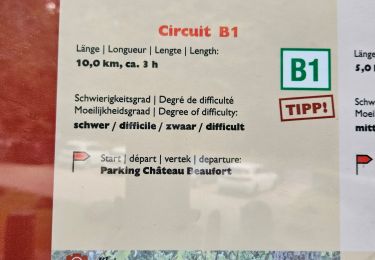
Circuit balisé (principalement B1 - B14 - ...) en boucle, au départ du Château de Beaufort.
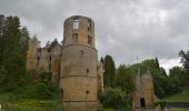
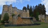
Après la randonnée, visite dudit château.
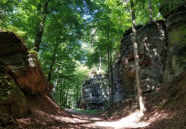
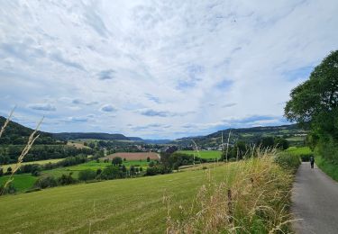
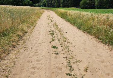
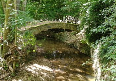
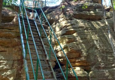
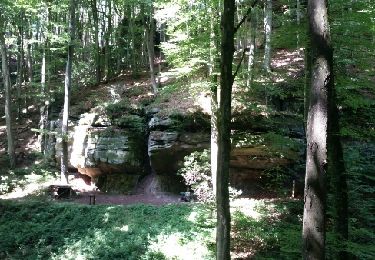
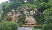
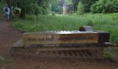
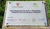
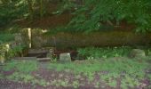
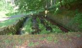
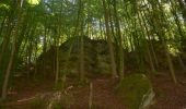
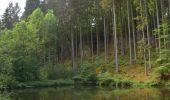
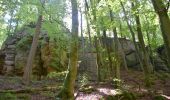
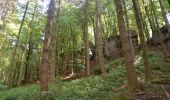
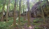
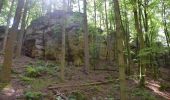
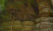
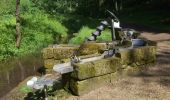
Ce circuit est exigeant et varié et passe par la forêt, le long de ruisseaux et de formations rocheuses. Il prend son départ au parking du château de Beaufort. La première partie passe par un ponton à côté du château jusqu‘à Klingelbur (ancien lavoir du château). Plus loin, les sentier passe par Klaisgen (une petite chapelle à 50 m à gauche du circuit) et le long des formations rocheuses Birkbaach et Herkuleskapp. Le sentier passe ensuite par le plateau de Beaufort et au-dessus de la réserve forestière Saueruecht. Il passe ensuite près de Köppeglee et descend dans la vallée pittoresque de Halerbaach et Haupeschbaach jusqu'au point de départ.

Elevation profile

Photos

104 photos in total. Please click on a photo to see them all in the gallery.

Positioning

Country:
Luxembourg
Region :
Unknown
Department/Province :
Canton Echternach
Municipality :
Beaufort
Location:
Unknown
Start:(UTM)
304878 ; 5523599 (32U) N.

Trails nearby

Trail Walking Waldbillig - 2024-08-10_15h10m00_Sentier_local_-_W4 - Photo
Walking
GUIDE
mumu.larandonneuse

Walking

Medium
(1)
Waldbillig, Unknown, Canton Echternach, Luxembourg
6.2 km | 7.8 km-effort
1h 45min
Yes
Trail Walking Berdorf - Berdorf - B2 - Müllerthal - Photo
Walking
GUIDE
mumu.larandonneuse

Walking

Medium
(2)
Berdorf, Unknown, Canton Echternach, Luxembourg
6.7 km | 8.5 km-effort
1h 35min
Yes
Trail Walking Bettendorf - 2022-09-22_13h06m23_t62862476_eislek pad bettendorf - Photo
Walking
GUIDE
mumu.larandonneuse

Walking

Medium
(1)
Bettendorf, Unknown, Canton Diekirch, Luxembourg
12.9 km | 17.1 km-effort
3h 52min
Yes
Trail Walking Beaufort - 2021-07-05_20h10m00_gpx-file (1) - Photo
Walking
GUIDE
mumu.larandonneuse

Walking

Medium
(1)
Beaufort, Unknown, Canton Echternach, Luxembourg
10.6 km | 13.6 km-effort
3h 5min
Yes
Trail Walking Beaufort - 2021-07-05_19h47m20_gpx-file - Photo
Walking
GUIDE
mumu.larandonneuse

Walking

Medium
(2)
Beaufort, Unknown, Canton Echternach, Luxembourg
12.9 km | 16.8 km-effort
3h 48min
Yes
Trail Walking Waldbillig - Mullerthal randonnée magnifique - Photo
Walking
GUIDE
Alfredy

Walking

Difficult
(4)
Waldbillig, Unknown, Canton Echternach, Luxembourg
9.3 km | 12.9 km-effort
4h 21min
Yes
Trail Walking Reisdorf - R2 - Photo
Walking
GUIDE
pierreh01

Walking

Easy
(1)
Reisdorf, Unknown, Canton Diekirch, Luxembourg
2.9 km | 4.2 km-effort
56min
Yes
Trail Walking Berdorf - 2023-06-03_18h17m36_Sentier_local_-_B8 - Photo
Walking
GUIDE
mumu.larandonneuse

Walking

Medium
(2)
Berdorf, Unknown, Canton Echternach, Luxembourg
11.7 km | 15 km-effort
3h 24min
Yes
Trail Walking Waldbillig - MÜLLERTHAL (Cascades) - Photo
Walking
GerardBouche

Walking

Medium
(1)
Waldbillig, Unknown, Canton Echternach, Luxembourg
10.2 km | 13.7 km-effort
3h 1min
Yes


Close
My subscriptions