


10.3 km | 16.7 km-effort


User


FREE GPS app for hiking
 SityTrail
IGN / Geographical institutes
SityTrail World
The world is yours!
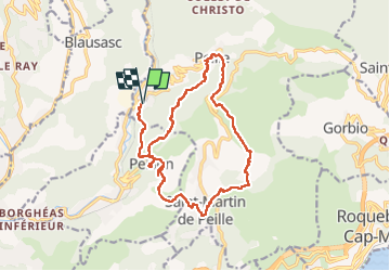
Trail Walking of 21 km to be discovered at Provence-Alpes-Côte d'Azur, Maritime Alps, Peille. This trail is proposed by ETMU5496.
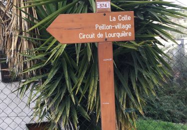
Au départ de la gare de Peille (La grave sur Peille).
Longue randonnée sans difficultés particulières
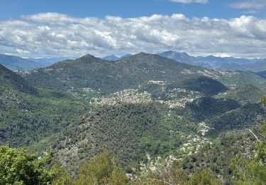
Les villages de Peillon et Peille sont très jolis à visiter
IBP = 95


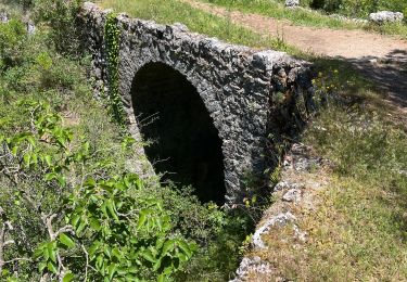
27 photos in total. Please click on a photo to see them all in the gallery.

Walking

Walking

On foot

Walking

sport
Walking

Walking
Walking

Walking