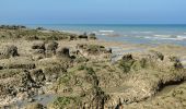

Normandie 2022 : Ault - Mers les bains

PatDev
User

Length
13.3 km

Max alt
69 m

Uphill gradient
176 m

Km-Effort
15.6 km

Min alt
-3 m

Downhill gradient
173 m
Boucle
Yes
Creation date :
2022-05-06 07:05:01.16
Updated on :
2022-07-01 09:48:45.841
3h30
Difficulty : Medium

FREE GPS app for hiking
About
Trail Walking of 13.3 km to be discovered at Hauts-de-France, Somme, Ault. This trail is proposed by PatDev.
Description
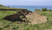
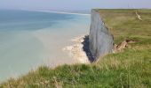
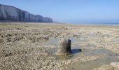
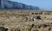
Belle randonnée en bas des falaises. Ceci n'est pas un promenade sur du sable ou des galets mais une progression sur les "blocs", entre les canaux
Sandales de randonnées nécessaires.
Départ en fin de marée descendante 1 à 1:30 heure avant la marée basse.
Positioning
Country:
France
Region :
Hauts-de-France
Department/Province :
Somme
Municipality :
Ault
Location:
Unknown
Start:(Dec)
Start:(UTM)
388801 ; 5551067 (31U) N.
Comments
Trails nearby
Mers les bains - Bois de Cise 10/08/2021


Walking
Medium
(1)
Mers-les-Bains,
Hauts-de-France,
Somme,
France

10.7 km | 14.4 km-effort
3h 15min
No
La plaine de La Falaise - Le Tréport


Walking
Medium
(1)
Le Tréport,
Normandy,
Seine-Maritime,
France

10.4 km | 13.4 km-effort
2h 30min
Yes

La falaise - Mers les Bains


Walking
Medium
(2)
Mers-les-Bains,
Hauts-de-France,
Somme,
France

5 km | 6.3 km-effort
1h 30min
Yes
Circuit de Lamotte


Walking
Difficult
(4)
Ault,
Hauts-de-France,
Somme,
France

11.4 km | 13.5 km-effort
4h 0min
Yes
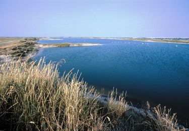
Les huttes


Walking
Very difficult
(4)
Ault,
Hauts-de-France,
Somme,
France

12.9 km | 14.4 km-effort
4h 19min
Yes

Balade le Tréport et Mers les bains


Walking
Medium
Le Tréport,
Normandy,
Seine-Maritime,
France

9.4 km | 11.7 km-effort
2h 51min
No
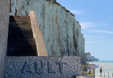
Ault - Treport


Walking
Easy
Ault,
Hauts-de-France,
Somme,
France

10.6 km | 13.4 km-effort
3h 33min
No
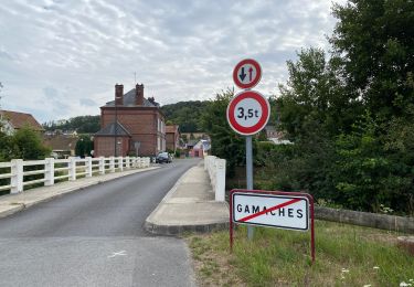
Circuit vélo Le Tréport Gamach


Road bike
Le Tréport,
Normandy,
Seine-Maritime,
France

35 km | 38 km-effort
2h 50min
Yes
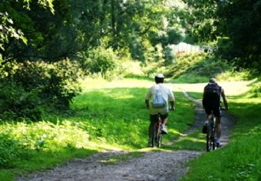
Chemin des étangs de la vallée de la Bresle - Le Tréport


Mountain bike
Easy
Le Tréport,
Normandy,
Seine-Maritime,
France

17.8 km | 19.2 km-effort
1h 30min
No


 SityTrail


