


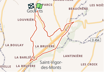

11.1 km | 13.7 km-effort


FREE GPS app for hiking
 SityTrail
IGN / Geographical institutes
SityTrail World
The world is yours!
Trail On foot of 8.3 km to be discovered at Normandy, Manche, Gouvets. This trail is proposed by florence.martin-tabac.

Nordic walking
Mountain bike

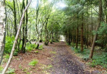
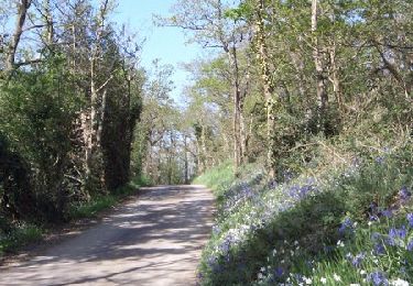
Walking

Walking

Mountain bike

Walking

Walking
Mountain bike
Walking