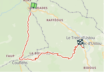


6.3 km | 13.6 km-effort


User


FREE GPS app for hiking
 SityTrail
IGN / Geographical institutes
SityTrail World
The world is yours!
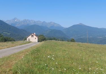
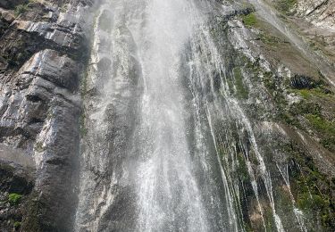
Trail Walking of 15.4 km to be discovered at Occitania, Ariège, Ustou. This trail is proposed by JM Heine.
Départ du logement (Auberge des 2 Rivières) 05 61 66 83 57
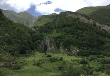
Nous court-circuitons la 1ère boucle officielle en longeant la D3 vers le SUD et retrouvons le GR à Couflens (au lieu dit Tucau Riu de Rouze), puis direction EST.
Arrivée au gîte d'étape La Colline Verte (St Lizier d'Ustou), route de Cagateille : le GR passe devant. 05 61 04 68 17 ou 06 86 89 39 28


Walking

Walking
Walking


Walking

Mountain bike