


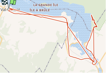

4.6 km | 6.6 km-effort

User


FREE GPS app for hiking
 SityTrail
IGN / Geographical institutes
SityTrail World
The world is yours!
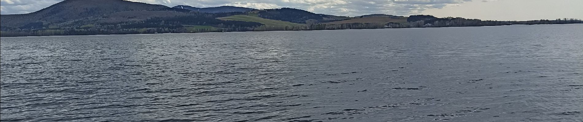
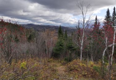
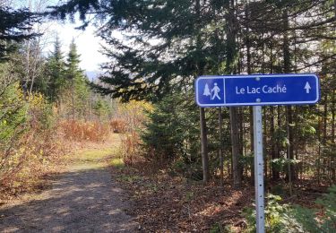
Trail Walking of 31 km to be discovered at Quebec, La Matapédia, Val-Brillant. This trail is proposed by Chloé Durand.


Walking

Walking
Walking
Walking
Walking