10.6 km | 12.7 km-effort
Les hauts de VOUHARTE Charente
alainjoseph6
User
Length
7.6 km
Max alt
111 m
Uphill gradient
117 m
Km-Effort
9.1 km
Min alt
48 m
Downhill gradient
119 m
Boucle
Yes
Creation date :
2022-05-19 07:18:49.135
Updated on :
2022-05-19 17:31:05.128
2h56
Difficulty : Medium
FREE GPS app for hiking
About
Trail Walking of 7.6 km to be discovered at New Aquitaine, Charente, Vouharte. This trail is proposed by alainjoseph6.
Description
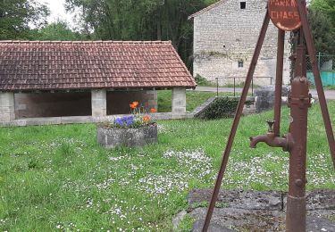
une balade avec des vues sur les paysages charentais. Le village est magnifique
Positioning
Country:
France
Region :
New Aquitaine
Department/Province :
Charente
Municipality :
Vouharte
Location:
Unknown
Start:(Dec)
Start:(UTM)
272693 ; 5077649 (31T) N.
Comments
Trails nearby
La rando de Puyssanganou entre Montignac et saint Amand de Boixe
Walking
Medium
(1)
Montignac-Charente,
New Aquitaine,
Charente,
France
3h 18min
Yes
Genac 30
Horseback riding
Difficult
Genac-Bignac,
New Aquitaine,
Charente,
France
29 km | 34 km-effort
4h 40min
Yes
Genac
Horseback riding
Difficult
Genac-Bignac,
New Aquitaine,
Charente,
France
31 km | 38 km-effort
4h 53min
Yes
vars190120
Walking
Very easy
Vars,
New Aquitaine,
Charente,
France
10.8 km | 13 km-effort
2h 44min
Yes
vouharte1012
Walking
Very easy
Vouharte,
New Aquitaine,
Charente,
France
11.3 km | 13.5 km-effort
2h 44min
Yes