8.3 km | 14.7 km-effort
le pas de l'aube
Mascart
User
Length
10.9 km
Max alt
654 m
Uphill gradient
406 m
Km-Effort
16.3 km
Min alt
305 m
Downhill gradient
406 m
Boucle
Yes
Creation date :
2022-05-17 11:31:59.382
Updated on :
2022-05-17 17:42:16.04
3h47
Difficulty : Medium
FREE GPS app for hiking
About
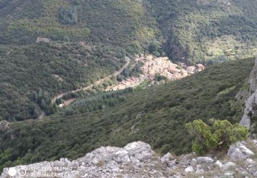
Trail Walking of 10.9 km to be discovered at Occitania, Aude, Cabrespine. This trail is proposed by Mascart.
Description
boucle Cabresbine
Positioning
Country:
France
Region :
Occitania
Department/Province :
Aude
Municipality :
Cabrespine
Location:
Unknown
Start:(Dec)
Start:(UTM)
456289 ; 4801157 (31T) N.
Comments
Trails nearby
Boucle du Gouffre de Cabrespine
On foot
Easy
Cabrespine,
Occitania,
Aude,
France
4.9 km | 8.7 km-effort
1h 59min
No
pujol de bosc castanviel
Walking
Easy
Villeneuve-Minervois,
Occitania,
Aude,
France
15.9 km | 23 km-effort
5h 20min
Yes
Sallèles Cabardès - Pradellles Cabardès - Pic du Nore-
Walking
Very difficult
Sallèles-Cabardès,
Occitania,
Aude,
France
65 km | 0 m-effort
23h 36min
Yes
Reco Le Pic de Nore
Walking
Very difficult
Sallèles-Cabardès,
Occitania,
Aude,
France
54 km | 79 km-effort
21h 27min
Yes
Pradelles,roc de l'aigle,cabrespine,pradelles
On foot
Difficult
Pradelles-Cabardès,
Occitania,
Aude,
France
15.3 km | 24 km-effort
5h 50min
Yes
trassanel gorges d'Escole RF
Walking
Medium
(1)
Trassanel,
Occitania,
Aude,
France
8.7 km | 11.7 km-effort
3h 2min
Yes