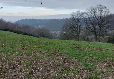
10.1 km | 12 km-effort
20220517-Boos
doudet
User
Length
13.2 km
Max alt
160 m
Uphill gradient
153 m
Km-Effort
15.3 km
Min alt
51 m
Downhill gradient
153 m
Boucle
Yes
Creation date :
2022-05-17 11:42:29.895
Updated on :
2022-05-17 17:07:13.388
3h29
Difficulty : Medium
FREE GPS app for hiking
About
Trail Walking of 13.2 km to be discovered at Normandy, Seine-Maritime, Boos. This trail is proposed by doudet.
Description
Boucle A-R au départ de l'Intermarché de Boos
Positioning
Country:
France
Region :
Normandy
Department/Province :
Seine-Maritime
Municipality :
Boos
Location:
Unknown
Start:(Dec)
Start:(UTM)
369346 ; 5472237 (31U) N.
Comments
Trails nearby
Saint Aubin-Epinay - Epinay vers Franqueville
Walking
Medium
(1)
Saint-Aubin-Épinay,
Normandy,
Seine-Maritime,
France
2h 37min
Yes
Ymare
Walking
Very easy
(1)
Ymare,
Normandy,
Seine-Maritime,
France
8.9 km | 10.6 km-effort
2h 0min
Yes
20240104-Quevreville la Potterie
Walking
Medium
Quévreville-la-Poterie,
Normandy,
Seine-Maritime,
France
9.2 km | 11.2 km-effort
2h 43min
Yes
20231219-quevreville noel
Walking
Medium
Quévreville-la-Poterie,
Normandy,
Seine-Maritime,
France
10.3 km | 12.6 km-effort
2h 55min
Yes
20231007-bois d ennebourg
Walking
Medium
Bois-d'Ennebourg,
Normandy,
Seine-Maritime,
France
10.3 km | 11.9 km-effort
3h 3min
Yes
20230228-Bois d ennebourg ennebourg
Walking
Medium
Bois-d'Ennebourg,
Normandy,
Seine-Maritime,
France
12.8 km | 14.9 km-effort
3h 32min
Yes
20230225-St Aubin Celloville
Walking
Medium
Saint-Aubin-Celloville,
Normandy,
Seine-Maritime,
France
11.8 km | 15 km-effort
3h 30min
Yes
20230216-Ymare Claude
Walking
Medium
Ymare,
Normandy,
Seine-Maritime,
France
12.2 km | 14.1 km-effort
3h 17min
Yes
rando Belbeuf
Walking
Difficult
Belbeuf,
Normandy,
Seine-Maritime,
France
11.5 km | 14.7 km-effort
3h 22min
Yes