48 km | 54 km-effort
rando Jacques 22 5 2022
ACPL
User
Length
9.3 km
Max alt
287 m
Uphill gradient
130 m
Km-Effort
11.1 km
Min alt
251 m
Downhill gradient
130 m
Boucle
Yes
Creation date :
2022-05-17 07:14:38.897
Updated on :
2022-05-17 09:25:32.469
1h48
Difficulty : Easy
FREE GPS app for hiking
About
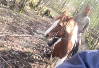
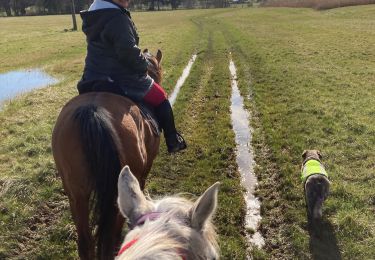
Trail Horseback riding of 9.3 km to be discovered at Grand Est, Meurthe-et-Moselle, Marainviller. This trail is proposed by ACPL.
Positioning
Country:
France
Region :
Grand Est
Department/Province :
Meurthe-et-Moselle
Municipality :
Marainviller
Location:
Unknown
Start:(Dec)
Start:(UTM)
323772 ; 5386792 (32U) N.
Comments
Trails nearby
sortie VTT du 30072019 Le haut de la Coyes
Mountain bike
Medium
Croismare,
Grand Est,
Meurthe-et-Moselle,
France
2h 24min
Yes
Sortie benamenil
Horseback riding
Easy
Bénaménil,
Grand Est,
Meurthe-et-Moselle,
France
10 km | 11.7 km-effort
1h 36min
Yes
Élodie tiboy Vispa
Horseback riding
Easy
Bénaménil,
Grand Est,
Meurthe-et-Moselle,
France
13.7 km | 15.7 km-effort
2h 10min
Yes
Bois de Bonviller
Walking
Medium
Sionviller,
Grand Est,
Meurthe-et-Moselle,
France
5 km | 6 km-effort
1h 22min
Yes
bénaménil emberménil
Horseback riding
Easy
Bénaménil,
Grand Est,
Meurthe-et-Moselle,
France
16.9 km | 19.2 km-effort
2h 31min
No
AUDAX Thiébauménil
Walking
Very difficult
Thiébauménil,
Grand Est,
Meurthe-et-Moselle,
France
26 km | 29 km-effort
4h 10min
Yes
attelages et cavaliers 23 juillet 23 Elodie et Emilien
Horseback riding
Medium
(1)
Bénaménil,
Grand Est,
Meurthe-et-Moselle,
France
26 km | 29 km-effort
3h 47min
Yes
pn
Horseback riding
Medium
Moncel-lès-Lunéville,
Grand Est,
Meurthe-et-Moselle,
France
19.9 km | 23 km-effort
3h 3min
Yes
avec les filles à benamenil
Horseback riding
Easy
Bénaménil,
Grand Est,
Meurthe-et-Moselle,
France
13.5 km | 15.8 km-effort
2h 29min
Yes