


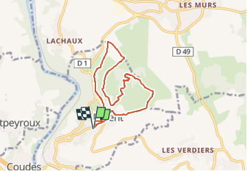

8.6 km | 11.2 km-effort

User GUIDE


FREE GPS app for hiking
 SityTrail
IGN / Geographical institutes
SityTrail World
The world is yours!
Trail Walking of 7 km to be discovered at Auvergne-Rhône-Alpes, Puy-de-Dôme, Parent. This trail is proposed by jagarnier.
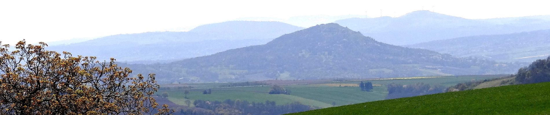
Courte randonnée qui vous emmènera de Parent au sommet du Puy d'Ecouyat. Vous pourrez profiter d'un large panorama sur le bassin de Vic le Comte et la chaîne des puys.


Walking

Walking

Walking

Walking

Walking

On foot

On foot

On foot

On foot