


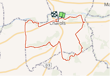

10.7 km | 13.6 km-effort


User


FREE GPS app for hiking
 SityTrail
IGN / Geographical institutes
SityTrail World
The world is yours!
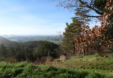
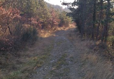
Trail Walking of 10.7 km to be discovered at Auvergne-Rhône-Alpes, Drôme, Charols. This trail is proposed by parastat.
Départ: apéro
1ère halte: entrée
2ème halte: repas
3ème halte: fromage
arrivée: dessert, café, thé, tisane.
Vins CDR rouge et rosé, eau (fraiche)
22€
Facile, familiale, conviviale, et habituellement mi mai.
Walking
Walking

Walking

Walking

Walking
Walking

On foot
Walking
Walking