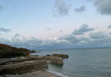
Trail Walking La Hague - NEZ JOBOURG - Photo
© OpenStreetMap contributors
Length
Length
21 km
Max alt
Max alt
172 m
Uphill gradient
Uphill gradient
438 m
Km-Effort
Km-Effort  
27 km
Min alt
Min alt
0 m
Downhill gradient
Downhill gradient
444 m
Boucle
Boucle
Yes
Creation date :
2015-03-10 00:00:00.0
Updated on :
2021-07-22 10:24:43.532

(2 Reviews)

Walking
Walking
5h48
Difficulty : Difficult

Scan this QR Code to open this trail in the SityTrail application

FREE GPS app for hiking

Logo SityTrail SityTrail

IGN / Geographical institutes

Download SityTrail from the App Store Download SityTrail from Google Play

Logo SityTrail SityTrail World

The world is yours!

Download SityTrail from the App Store Download SityTrail from Google Play Download SityTrail on Huawei AppGallery

About

Trail Walking of 21 km to be discovered at Normandy, Manche, La Hague. This trail is proposed by TOULAUDIN.

Description

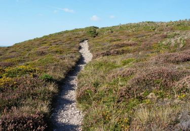
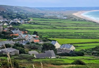
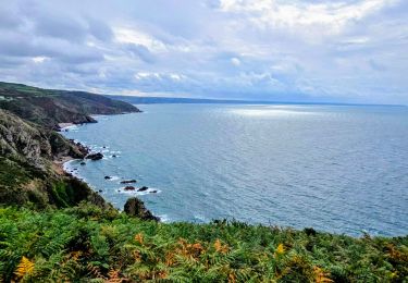
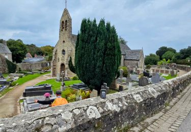
splendide rando au départ de Port Racine effectuée par grand beau temps en juillet 2014

Elevation profile

Photos

Positioning

Country:
France
Region :
Normandy
Department/Province :
Manche
Municipality :
La Hague
Location:
Saint-Germain-des-Vaux
Start:(UTM)
579459 ; 5507243 (30U) N.

Comments

Please log in to post a review or rate the element


je suggère de partir par le jardin de Prévert et de terminer par la côte. Que du plaisir pour la beauté des nez et de cette rando. Audier.


Une trésor belle balade même sous le vent et la pluie comme ce jour de septembre. Nous avons cependant zapper par prudence la partie escarpée après l'auberge des grottes qui nous a fait du feu pour sécher un peu nos vêtements.


Trails nearby

Trail Mountain bike La Hague - Le Tour des Echoués - Jobourg - Photo
Mountain bike
tracegps

Mountain bike

Medium
(1)
La Hague, Normandy, Manche, France
26 km | 32 km-effort
2h 0min
Yes
Trail Walking La Hague - Ecalgrain et sa baie. - Photo
Walking
tracegps

Walking

Difficult
(4)
La Hague, Normandy, Manche, France
13.4 km | 18.3 km-effort
3h 15min
Yes
Trail On foot La Hague - SityTrail - 4202124 - cotentin-j3 - Photo
On foot
GUIDE
chessyca

On foot

Difficult
La Hague, Normandy, Manche, France
23 km | 33 km-effort
7h 30min
No
Trail Walking La Hague - Séjour Cotentin Etape 3 Le nez de Jobourg et Biville a corriger - Photo
Walking
GUIDE
chessyca

Walking

Very difficult
La Hague, Normandy, Manche, France
23 km | 33 km-effort
7h 31min
No
Trail On foot La Hague - Séjour Cotentin Etape 2 Boucle Jobourg La Hague - Port Racine - Omonville la petite - Photo
On foot
GUIDE
chessyca

On foot

Difficult
La Hague, Normandy, Manche, France
28 km | 34 km-effort
7h 44min
Yes
Trail Walking La Hague - goury / vauville - Photo
Walking
mimisouge72

Walking

Difficult
(1)
La Hague, Normandy, Manche, France
16.5 km | 24 km-effort
5h 17min
No
Trail Walking La Hague - Magiquement votre  - Photo
Walking
zefreefly

Walking

Medium
La Hague, Normandy, Manche, France
25 km | 33 km-effort
6h 12min
Yes
Trail Walking La Hague - Boucle St-Germain-des-Vaux - Auderville - La Roche - Goury - Photo
Walking
LightStalker

Walking

Easy
La Hague, Normandy, Manche, France
12.4 km | 14.7 km-effort
5h 22min
Yes
Trail Walking La Hague - Autour de la ferme du Tourp - Photo
Walking
Philos Baticléoloupoulous

Walking

Medium
La Hague, Normandy, Manche, France
21 km | 27 km-effort
1h 46min
No


Close
My subscriptions