Trail Walking Mizoën -  4ème étape : Châlets du fay à la Grave - Photo

4ème étape : Châlets du fay à la Grave

 randotines
randotines

User GUIDE

© OpenStreetMap contributors
Length
Length
12 km
Max alt
Max alt
2365 m
Uphill gradient
Uphill gradient
296 m
Km-Effort
Km-Effort  
18.5 km
Min alt
Min alt
1478 m
Downhill gradient
Downhill gradient
1078 m
Boucle
Boucle
No
Creation date :
2014-12-10 00:00:00.0
Updated on :
2014-12-10 00:00:00.0

(0 Reviews)

Walking
Walking
3h27
Difficulty : Difficult

Scan this QR Code to open this trail in the SityTrail application

FREE GPS app for hiking

Logo SityTrail SityTrail

IGN / Geographical institutes

Download SityTrail from the App Store Download SityTrail from Google Play

Logo SityTrail SityTrail World

The world is yours!

Download SityTrail from the App Store Download SityTrail from Google Play Download SityTrail on Huawei AppGallery

About

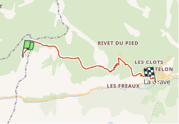
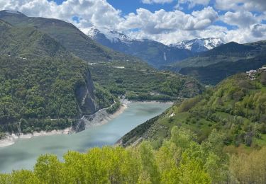
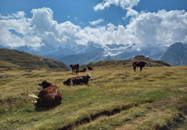
Trail Walking of 12 km to be discovered at Auvergne-Rhône-Alpes, Isère, Mizoën. This trail is proposed by randotines.

Description

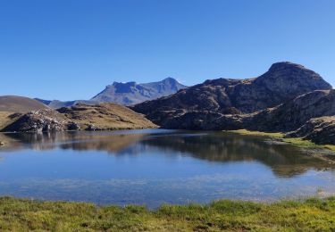
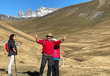
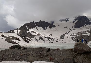
Retour vers le GR54 au confluent des rifs et petite montée jusqu'au col du Souchet ensuite très belle descente jusqu'au Chazelet et arrivée à la Grave où j'ai bénéficié d'un transfert jusqu'au gîte d'étape du Pont d'Arsine.

Elevation profile

Positioning

Country:
France
Region :
Auvergne-Rhône-Alpes
Department/Province :
Isère
Municipality :
Mizoën
Location:
Unknown
Start:(UTM)
280581 ; 4993173 (32T) N.

Trails nearby

Trail Walking Mizoën - 2020-09-05 Marche Refuge Fay Plateau Emparis La Grave - Photo
Walking
GUIDE
holtzv

Walking

Easy
Mizoën, Auvergne-Rhône-Alpes, Isère, France
21 km | 33 km-effort
6h 23min
No
Trail Walking La Grave - 2020-09-04 Marche Pic du Mas de la Grave Refuge du Fay - Photo
Walking
GUIDE
holtzv

Walking

Medium
La Grave, Provence-Alpes-Côte d'Azur, Hautes-Alpes, France
17.4 km | 32 km-effort
6h 54min
No
Trail Walking Mizoën - Lac de Lovitel et fontaine pétrifiante depuis Aymes - Photo
Walking
Patience

Walking

Very easy
(1)
Mizoën, Auvergne-Rhône-Alpes, Isère, France
8.6 km | 14.5 km-effort
3h 56min
Yes
Trail Walking Clavans-en-Haut-Oisans - 28 juin 2023 lac des quirlies - Photo
Walking
Parodie69

Walking

Very difficult
Clavans-en-Haut-Oisans, Auvergne-Rhône-Alpes, Isère, France
17.7 km | 32 km-effort
7h 21min
Yes
Trail Walking Mizoën - Les clots Fontaine pétrifiantes  - Photo
Walking
GUIDE
jouans

Walking

Very difficult
Mizoën, Auvergne-Rhône-Alpes, Isère, France
8.9 km | 19.7 km-effort
3h 4min
Yes
Trail Walking Besse - Plateau d'Emparis 26.8.22 - Photo
Walking
GUIDE
fredetpascale

Walking

Easy
Besse, Auvergne-Rhône-Alpes, Isère, France
7.9 km | 12.8 km-effort
2h 50min
Yes
Trail Walking Besse - Emparis  - Photo
Walking
GUIDE
jouans

Walking

Medium
Besse, Auvergne-Rhône-Alpes, Isère, France
7.4 km | 8.9 km-effort
2h 8min
Yes
Trail Walking Clavans-en-Haut-Oisans - Lac des Quirlies en circuit par l'échine de Praouat - Photo
Walking
Emelle

Walking

Difficult
Clavans-en-Haut-Oisans, Auvergne-Rhône-Alpes, Isère, France
18.2 km | 33 km-effort
9h 44min
Yes
Trail Walking Clavans-en-Haut-Oisans - lac des Quirlies - Photo
Walking
GuyVachet

Walking

Difficult
Clavans-en-Haut-Oisans, Auvergne-Rhône-Alpes, Isère, France
15 km | 28 km-effort
7h 30min
Yes


Close
My subscriptions