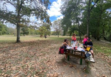
6.2 km | 6.8 km-effort
encaminas mai 22
sylviedenis
User
Length
5.5 km
Max alt
73 m
Uphill gradient
54 m
Km-Effort
6.2 km
Min alt
45 m
Downhill gradient
52 m
Boucle
Yes
Creation date :
2022-05-14 07:38:30.675
Updated on :
2022-05-14 10:51:00.082
1h31
Difficulty : Very easy
FREE GPS app for hiking
About
Trail Walking of 5.5 km to be discovered at New Aquitaine, Gironde, Uzeste. This trail is proposed by sylviedenis.
Positioning
Country:
France
Region :
New Aquitaine
Department/Province :
Gironde
Municipality :
Uzeste
Location:
Unknown
Start:(Dec)
Start:(UTM)
712916 ; 4924450 (30T) N.
Comments
Trails nearby
Prechac/Bommes
Canoe - kayak
Medium
Préchac,
New Aquitaine,
Gironde,
France
19.4 km | 21 km-effort
3h 58min
No
Prechac 2
Walking
Medium
Préchac,
New Aquitaine,
Gironde,
France
10.2 km | 11.4 km-effort
2h 36min
Yes
Descente du coton
Canoe - kayak
Very easy
Villandraut,
New Aquitaine,
Gironde,
France
19.4 km | 21 km-effort
4h 13min
No
Autour de Pompéjac
Mountain bike
Medium
Pompéjac,
New Aquitaine,
Gironde,
France
28 km | 32 km-effort
3h 0min
Yes
Villandraut
Walking
Villandraut,
New Aquitaine,
Gironde,
France
11.9 km | 13.2 km-effort
3h 4min
Yes
Uzeste Villandrault Ar
Walking
Difficult
Uzeste,
New Aquitaine,
Gironde,
France
13.9 km | 15.7 km-effort
4h 0min
Yes
Uzeste Villandrault Uzeste
Walking
Easy
Uzeste,
New Aquitaine,
Gironde,
France
13.5 km | 15.2 km-effort
4h 0min
Yes
Roaillan - Sanguinet
Horseback riding
Medium
Roaillan,
New Aquitaine,
Gironde,
France
92 km | 101 km-effort
3h 19min
No