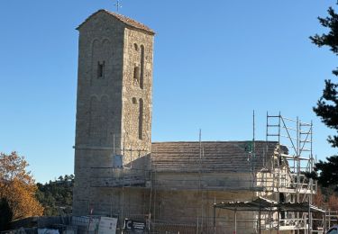
14.6 km | 28 km-effort
Eoulx 04) depuis le Bouguet (83)
Roland_Reitz
User
Length
17.5 km
Max alt
1166 m
Uphill gradient
576 m
Km-Effort
25 km
Min alt
838 m
Downhill gradient
576 m
Boucle
Yes
Creation date :
2022-05-12 16:57:35.506
Updated on :
2022-05-12 16:59:26.504
5h43
Difficulty : Very difficult
FREE GPS app for hiking
About
Trail Walking of 17.5 km to be discovered at Provence-Alpes-Côte d'Azur, Var, Le Bourguet. This trail is proposed by Roland_Reitz.
Description
Circuit traçé en 2 tronçons
Positioning
Country:
France
Region :
Provence-Alpes-Côte d'Azur
Department/Province :
Var
Municipality :
Le Bourguet
Location:
Unknown
Start:(Dec)
Start:(UTM)
300369 ; 4850730 (32T) N.
Comments
Trails nearby
Thyrs : sommet du Robion
Walking
Difficult
Castellane,
Provence-Alpes-Côte d'Azur,
Alpes-de-Haute-Provence,
France
6h 16min
Yes
Castellane - Chapelle St Thyrs - Petit Robion - Sommet Robion - Gorges du Rayaup
Walking
Difficult
Castellane,
Provence-Alpes-Côte d'Azur,
Alpes-de-Haute-Provence,
France
15.2 km | 28 km-effort
4h 26min
Yes
Plan d'Anelle - Colline de Clare
On foot
Easy
(1)
La Martre,
Provence-Alpes-Côte d'Azur,
Var,
France
10.6 km | 18.2 km-effort
Unknown
Yes
20181017 Le Bourguet Robion
Walking
Easy
Le Bourguet,
Provence-Alpes-Côte d'Azur,
Var,
France
15 km | 20 km-effort
5h 41min
Yes
Chateauvieux-Eoulx
Walking
Medium
Châteauvieux,
Provence-Alpes-Côte d'Azur,
Var,
France
21 km | 31 km-effort
6h 56min
Yes
jabron bloqué par la haie métallique
Walking
Difficult
Comps-sur-Artuby,
Provence-Alpes-Côte d'Azur,
Var,
France
10.4 km | 16.5 km-effort
4h 56min
Yes
le Robion
Walking
Difficult
Castellane,
Provence-Alpes-Côte d'Azur,
Alpes-de-Haute-Provence,
France
7.6 km | 16.6 km-effort
2h 57min
Yes
eoulx 13km et 500m
Walking
Medium
Castellane,
Provence-Alpes-Côte d'Azur,
Alpes-de-Haute-Provence,
France
13.3 km | 19.5 km-effort
4h 41min
No
MONTAGNE DE CLARE APRES RECONNAISSANCE trajet possible
On foot
Medium
Brenon,
Provence-Alpes-Côte d'Azur,
Var,
France
16.1 km | 25 km-effort
5h 36min
Yes