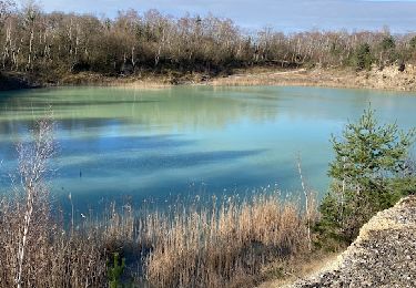
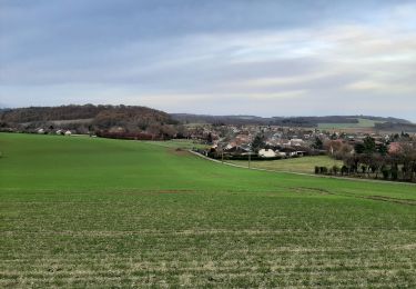
7.5 km | 9.1 km-effort
12/05/2022
Bernard FORTE
User
Length
9.4 km
Max alt
190 m
Uphill gradient
123 m
Km-Effort
11 km
Min alt
96 m
Downhill gradient
122 m
Boucle
Yes
Creation date :
2022-05-12 08:40:05.296
Updated on :
2022-05-12 10:29:16.727
1h43
Difficulty : Medium
FREE GPS app for hiking
About
Trail Walking of 9.4 km to be discovered at Ile-de-France, Seine-et-Marne, Chalautre-la-Grande. This trail is proposed by Bernard FORTE.
Positioning
Country:
France
Region :
Ile-de-France
Department/Province :
Seine-et-Marne
Municipality :
Chalautre-la-Grande
Location:
Unknown
Start:(Dec)
Start:(UTM)
533868 ; 5376439 (31U) N.
Comments
Trails nearby
MONTPOTHIER, LE VILLAGE ET LES ETANGS
Walking
Medium
(1)
Montpothier,
Grand Est,
Aube,
France
2h 4min
Yes
Rando Santé du 27 nov. - La Saulsotte
Walking
Medium
La Saulsotte,
Grand Est,
Aube,
France
5.1 km | 6.3 km-effort
1h 2min
Yes
Rando Les Petites Pierres - Sourdun - Mauperthuis
Walking
Medium
Sourdun,
Ile-de-France,
Seine-et-Marne,
France
10.9 km | 11.9 km-effort
2h 1min
Yes
Boucle Nogent Liours
Walking
Very easy
Nogent-sur-Seine,
Grand Est,
Aube,
France
13.1 km | 14 km-effort
2h 44min
Yes
Autour des étangs de Montreuil
Walking
Easy
Nogent-sur-Seine,
Grand Est,
Aube,
France
12.4 km | 13.4 km-effort
3h 1min
Yes
SityTrail - bord de la Seine
Walking
Very difficult
Nogent-sur-Seine,
Grand Est,
Aube,
France
17.7 km | 19.1 km-effort
4h 20min
Yes
Montpothier la queue de renard
Walking
Montpothier,
Grand Est,
Aube,
France
10.3 km | 12.2 km-effort
2h 23min
Yes
Rando Active - Le Meriot
Walking
Medium
Le Mériot,
Grand Est,
Aube,
France
6.9 km | 8.9 km-effort
1h 36min
Yes