Trail Walking Rio Caldo - Sao Bento Peneda Gères  - Photo

Sao Bento Peneda Gères

 FMV144
FMV144

User

© OpenStreetMap contributors
Length
Length
14.5 km
Max alt
Max alt
550 m
Uphill gradient
Uphill gradient
578 m
Km-Effort
Km-Effort  
22 km
Min alt
Min alt
155 m
Downhill gradient
Downhill gradient
580 m
Boucle
Boucle
Yes
Creation date :
2022-05-09 09:51:12.0
Updated on :
2022-05-09 13:52:44.035

(0 Reviews)

Walking
Walking
4h00
Difficulty : Medium

Scan this QR Code to open this trail in the SityTrail application

FREE GPS app for hiking

Logo SityTrail SityTrail

IGN / Geographical institutes

Download SityTrail from the App Store Download SityTrail from Google Play

Logo SityTrail SityTrail World

The world is yours!

Download SityTrail from the App Store Download SityTrail from Google Play Download SityTrail on Huawei AppGallery

About

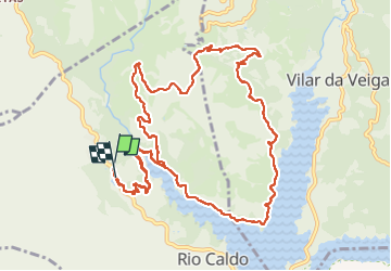
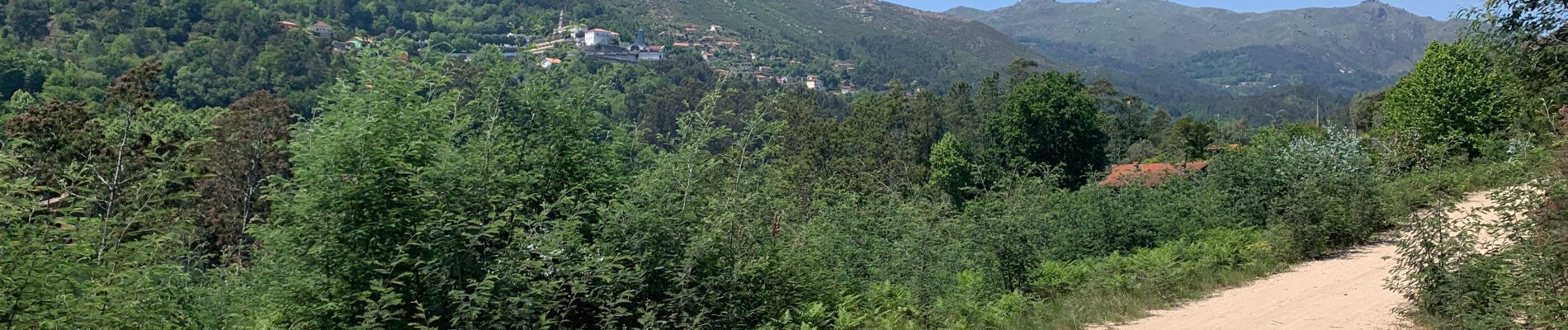
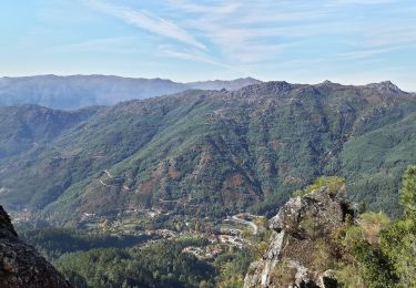
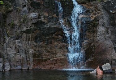
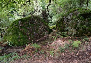
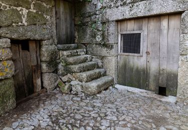
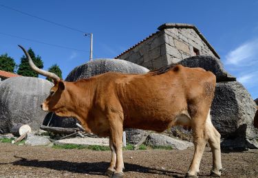
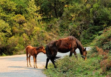
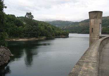
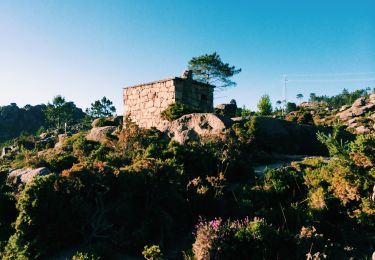
Trail Walking of 14.5 km to be discovered at North, Braga, Rio Caldo. This trail is proposed by FMV144.

Description

Pend

Elevation profile

Photos

Positioning

Country:
Portugal
Region :
North
Department/Province :
Braga
Municipality :
Rio Caldo
Location:
Unknown
Start:(UTM)
566243 ; 4615759 (29T) N.

Trails nearby

Trail On foot Vilar da Veiga - Trilho dos Currais - Photo
On foot
PRO

On foot

Easy
Vilar da Veiga, North, Braga, Portugal
9.8 km | 17.7 km-effort
4h 0min
Yes
Trail On foot  - Trilho dos Miradouros - Photo
On foot
PRO

On foot

Easy
, North, Braga, Portugal
10.3 km | 18.5 km-effort
4h 11min
Yes
Trail On foot Rio Caldo - Trilho de S Bento Geres - Photo
On foot
PRO

On foot

Easy
Rio Caldo, North, Braga, Portugal
8.4 km | 13.4 km-effort
3h 2min
No
Trail On foot Chorense e Monte - Trilho dos Moinhos de Santa Isabel do Monte - Photo
On foot
PRO

On foot

Easy
Chorense e Monte, North, Braga, Portugal
12.4 km | 19.1 km-effort
4h 21min
Yes
Trail On foot Covide - Trilho do Castelo - Photo
On foot
PRO

On foot

Easy
Covide, North, Braga, Portugal
12.9 km | 19.6 km-effort
4h 27min
No
Trail On foot  - Geres Panorama - Photo
On foot
PRO

On foot

Easy
, North, Braga, Portugal
5.6 km | 7.3 km-effort
1h 39min
No
Trail On foot Valdosende - Trilho da Albufeira da Canicada - Photo
On foot
PRO

On foot

Easy
Valdosende, North, Braga, Portugal
9.4 km | 13.2 km-effort
2h 59min
No
Trail On foot Covide - Trilho da Cidada da Calcedónia - Photo
On foot
PRO

On foot

Easy
Covide, North, Braga, Portugal
6.6 km | 12.4 km-effort
2h 49min
Yes
Trail Walking  - trilho - Photo
Walking
mysterdub

Walking

Very difficult
, North, Braga, Portugal
11.2 km | 19.6 km-effort
5h 45min
Yes


Close
My subscriptions