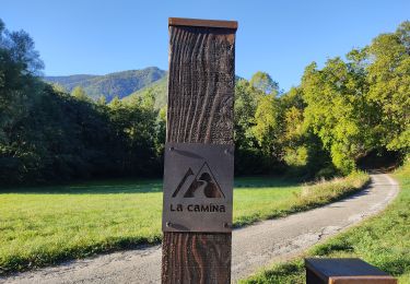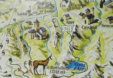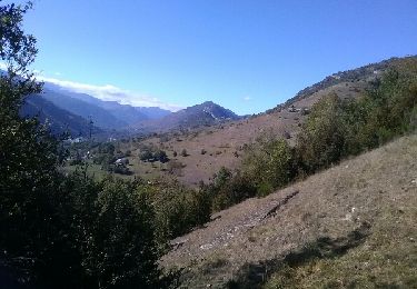

Etang d'Appy

toutankhcarton
User GUIDE

Length
9.2 km

Max alt
1754 m

Uphill gradient
764 m

Km-Effort
19.3 km

Min alt
988 m

Downhill gradient
762 m
Boucle
Yes
Creation date :
2022-05-09 08:48:28.474
Updated on :
2022-05-09 20:17:27.404
3h11
Difficulty : Easy

FREE GPS app for hiking
About
Trail Walking of 9.2 km to be discovered at Occitania, Ariège, Appy. This trail is proposed by toutankhcarton.
Description
L'étang d'Appy est situé au cœur du massif de Saint Barthélémy. Rando en aller retour par le même itinéraire. Possibilité de grimper jusqu'au Pic de St Barthélémy en passant par le col d'Appy.
Positioning
Country:
France
Region :
Occitania
Department/Province :
Ariège
Municipality :
Appy
Location:
Unknown
Start:(Dec)
Start:(UTM)
396360 ; 4738463 (31T) N.
Comments
Trails nearby


Camina De Luzenac à Ax les thermes


Walking
Medium
Garanou,
Occitania,
Ariège,
France

16.8 km | 24 km-effort
6h 41min
No

cabane coumels


Walking
Medium
Luzenac,
Occitania,
Ariège,
France

8.8 km | 19.1 km-effort
6h 1min
Yes

Verdun, Albies, Vebre


Walking
Easy
Verdun,
Occitania,
Ariège,
France

4.4 km | 6 km-effort
1h 33min
No

Vebre, Lassure, La Remise, Vebre


Walking
Easy
Vèbre,
Occitania,
Ariège,
France

8.1 km | 12.6 km-effort
2h 34min
Yes

Vebre, Caychax. Alliés, Vebre


Walking
Easy
Vèbre,
Occitania,
Ariège,
France

9.6 km | 15.1 km-effort
2h 53min
No


Le tour du rocher du Courbas


Walking
Medium
Lordat,
Occitania,
Ariège,
France

13 km | 19.8 km-effort
4h 20min
Yes

Camina des Cabannes à Luzenac


Walking
Easy
Les Cabannes,
Occitania,
Ariège,
France

8.4 km | 10.6 km-effort
2h 46min
No


 SityTrail


