


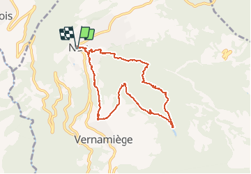

6.3 km | 9.8 km-effort


User


FREE GPS app for hiking
 SityTrail
IGN / Geographical institutes
SityTrail World
The world is yours!
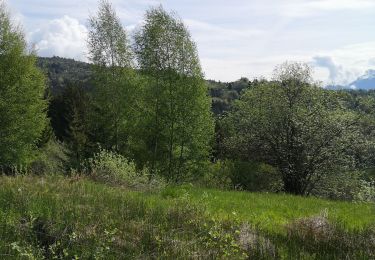
Trail Walking of 9.2 km to be discovered at Valais/Wallis, Hérens, Mont-Noble. This trail is proposed by siejcsal.
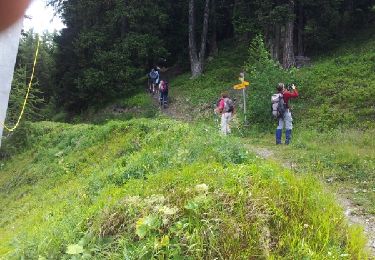
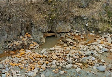
Très jolie randonnée depuis NAX direction le lac de VERNAMIEGE (endroit idylique!) et retour sur NAX par la pierre des enfants

On foot
Walking
Walking

Walking

Other activity
Other activity
Nordic walking
