


 - Photo 21")
 - Photo 22")
 - Photo 23")
 - Photo 24")
 - Photo 25")

5 km | 6.9 km-effort

User


FREE GPS app for hiking
 SityTrail
IGN / Geographical institutes
SityTrail World
The world is yours!
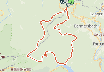
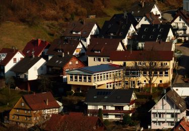
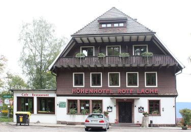
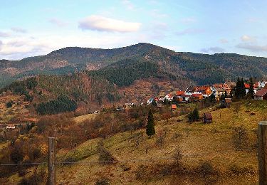
Trail Walking of 21 km to be discovered at Baden-Württemberg, Landkreis Rastatt, Forbach. This trail is proposed by Bart2015.
Longue rando pour rejoindre le lac Schwarzenbachstausee et son barrage où une petite halte s'impose puis le très sauvage et tourbeux petit lac du Herrenwieser See. Puis montée au Badener Höhe qui est l'un des principaux sommets de la Nordschwarzwald, dépassant tout juste les 1000 mètres d'altitude.
Bonne rando ...
 - Photo 1")
 - Photo 2")
 - Photo 3")
 - Photo 4")
 - Photo 5")
 - Photo 6")
 - Photo 7")
 - Photo 8")
 - Photo 9")
 - Photo 10")
 - Photo 11")
 - Photo 12")
 - Photo 13")
 - Photo 14")
 - Photo 15")
 - Photo 16")
 - Photo 17")
 - Photo 18")
 - Photo 19")
 - Photo 20")
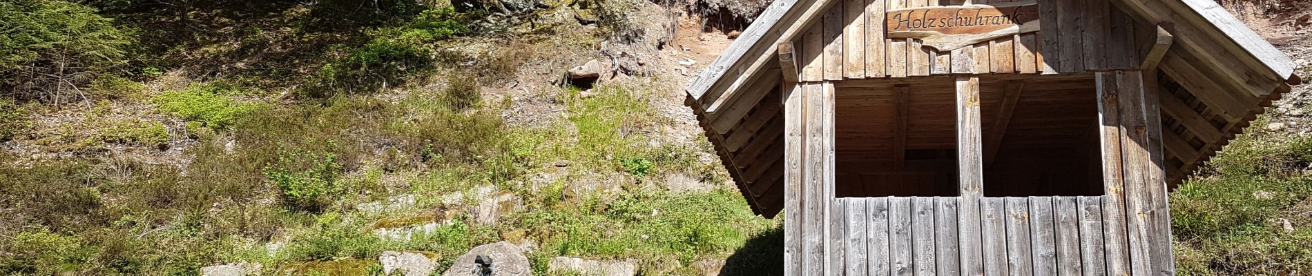
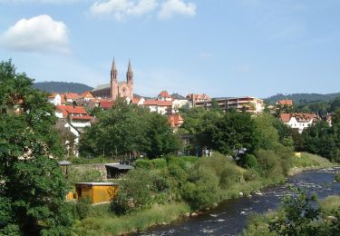
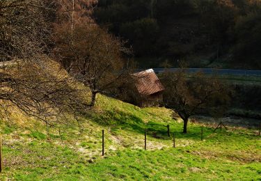
25 photos in total. Please click on a photo to see them all in the gallery.
On foot
On foot
On foot
On foot
On foot
On foot
On foot
On foot
On foot