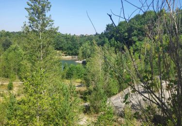
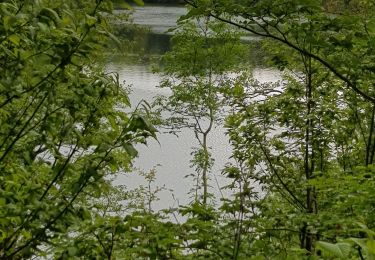
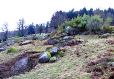
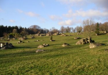
Trail On foot Noailhac - Boucle sur les hauts de Noailhac - Photo

Boucle sur les hauts de Noailhac

© OpenStreetMap contributors
Length
Length
18.6 km
Max alt
Max alt
458 m
Uphill gradient
Uphill gradient
597 m
Km-Effort
Km-Effort  
27 km
Min alt
Min alt
233 m
Downhill gradient
Downhill gradient
596 m
Boucle
Boucle
Yes
Creation date :
2022-05-06 18:52:02.943
Updated on :
2022-05-18 07:40:23.156

(0 Reviews)

On foot
On foot
3h39
Difficulty : Easy

Scan this QR Code to open this trail in the SityTrail application

FREE GPS app for hiking

Logo SityTrail SityTrail

IGN / Geographical institutes

Download SityTrail from the App Store Download SityTrail from Google Play

Logo SityTrail SityTrail World

The world is yours!

Download SityTrail from the App Store Download SityTrail from Google Play Download SityTrail on Huawei AppGallery

About

Trail On foot of 18.6 km to be discovered at Occitania, Tarn, Noailhac. This trail is proposed by chanac les mines.

Elevation profile

Points of interest

Point of interest Noailhac - Place du village de Noailhac - Photo
chanac les mines
Point of interest Noailhac - Grand Bois tourner à droite et quitter le GR - Photo
chanac les mines
Point of interest Noailhac - Suivre à gauche sur la RD - Photo
chanac les mines
Point of interest Noailhac - Prendre le chemin à droite à l'angle de la maison - Photo
chanac les mines
Point of interest Saint-Salvy-de-la-Balme - 2 fois a droite  - Photo
chanac les mines
SAINT-SALVY-DE-LA-BALME 
Point of interest Noailhac - Bifurquer sur le chemin à gauche en contre-bas - Photo
chanac les mines
Point of interest Saint-Salvy-de-la-Balme - Traversée de route. - Photo
chanac les mines
SAINT-SALVY-DE-LA-BALME 
Point of interest Saint-Salvy-de-la-Balme - Traversée de route - Photo
chanac les mines
SAINT-SALVY-DE-LA-BALME 
Point of interest Noailhac - Suivre la RD110 à droite  - Photo
chanac les mines
Point of interest Noailhac - Chemin à droite entre les maisons - Photo
chanac les mines
Point of interest Noailhac - Prendre à gauche sur le GR - Photo
chanac les mines
Point of interest Noailhac - Prendre à droite sur la route RD110 - Photo
chanac les mines
Point of interest Noailhac - Prendre le chemin à droite - Photo
chanac les mines
Point of interest Noailhac - Virage, chemin à droite - Photo
chanac les mines
Point of interest Noailhac - tout droit malgre la  croix - Photo
chanac les mines
Point of interest Noailhac - D93 - Photo
chanac les mines
NOAILHAC 
Point of interest Noailhac - Place du  village de Noailhac - Photo
chanac les mines

Positioning

Country:
France
Region :
Occitania
Department/Province :
Tarn
Municipality :
Noailhac
Location:
Unknown
Start:(UTM)
447601 ; 4824794 (31T) N.

Trails nearby

Trail Walking Boissezon - 81_Boissezon - Photo
Walking
jab31

Walking

Difficult
(1)
Boissezon, Occitania, Tarn, France
18.5 km | 26 km-effort
4h 21min
Yes
Trail Walking Noailhac - 81-Prades-Fialessuch -30/03/2014 - Photo
Walking
Jovila

Walking

Easy
Noailhac, Occitania, Tarn, France
11.4 km | 16.7 km-effort
3h 4min
Yes
Trail Walking Boissezon - Boissezon - Castres - Photo
Walking
RR31

Walking

Medium
Boissezon, Occitania, Tarn, France
19.7 km | 25 km-effort
Unknown
No
Trail Mountain bike Pont-de-Larn -  Barrage du Pas des Bêtes - Sidobre - Photo
Mountain bike
tracegps

Mountain bike

Medium
Pont-de-Larn, Occitania, Tarn, France
46 km | 65 km-effort
3h 49min
Yes
Trail Walking Pont-de-Larn - les hauts de la môle variante - Photo
Walking
cappelle

Walking

Medium
Pont-de-Larn, Occitania, Tarn, France
12.1 km | 15.3 km-effort
3h 29min
Yes
Trail Walking Burlats - Chaos de la Rouquette - Photo
Walking
gdela

Walking

Medium
Burlats, Occitania, Tarn, France
4.3 km | 5.8 km-effort
1h 9min
Yes
Trail Walking Boissezon - 81-Le Rampaillou Boissezon (Parcours moyen)-18-05-2019 - Photo
Walking
Jovila

Walking

Medium
Boissezon, Occitania, Tarn, France
18.2 km | 26 km-effort
5h 25min
Yes
Trail Mountain bike Noailhac - A l'abri du Vent d'Autan - Noailhac - Photo
Mountain bike
tracegps

Mountain bike

Difficult
Noailhac, Occitania, Tarn, France
33 km | 46 km-effort
3h 45min
Yes
Trail Mountain bike Noailhac - La trace du Dahu - Noailhac - Photo
Mountain bike
tracegps

Mountain bike

Medium
Noailhac, Occitania, Tarn, France
19.9 km | 27 km-effort
1h 45min
Yes


Close
My subscriptions