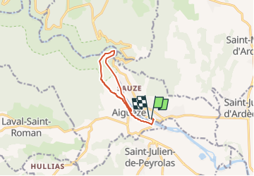

12.6 km | 17 km-effort


User


FREE GPS app for hiking
 SityTrail
IGN / Geographical institutes
SityTrail World
The world is yours!
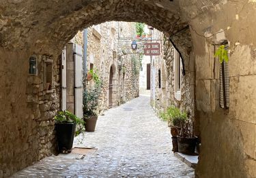
Trail Walking of 9.5 km to be discovered at Auvergne-Rhône-Alpes, Ardèche, Saint-Martin-d'Ardèche. This trail is proposed by jeanjacquescavet.
boucle à partir de Saint Martin d'Ardèche
Passer le pont suspendu
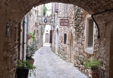
remonter jusqu'à Ai guèze
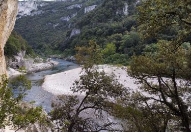
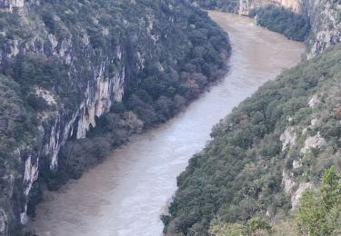
descendre au bord de l'Ardèche
suivre la rive jusque la plage en face Roc Pointu
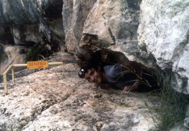
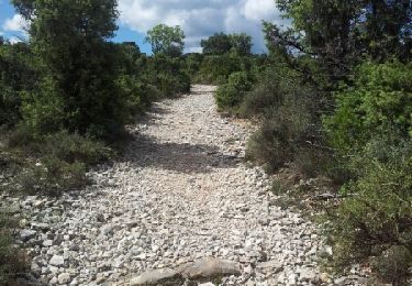
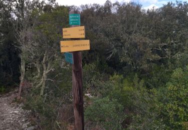
remonter par un petit sentier pour rejoindre le GR4
retour vers aiguèze et Saint Martin
Walking
Walking
Walking
Walking
Walking
Walking
Walking