


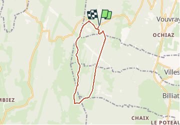


7.6 km | 9.6 km-effort


User


FREE GPS app for hiking
 SityTrail
IGN / Geographical institutes
SityTrail World
The world is yours!
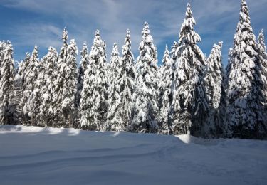
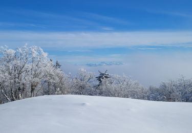
Trail Winter sports of 11.1 km to be discovered at Auvergne-Rhône-Alpes, Ain, Valserhône. This trail is proposed by yveshumbert.
Le chemin est tracé pour le ski de fond traditionnel et skating. Piste bien exposée au soleil. N'oubliez pas la crême solaire et les lunettes
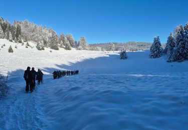
Snowshoes

Walking
Walking
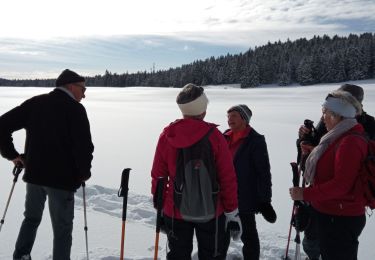
Snowshoes
Snowshoes
Snowshoes
Walking
Walking
Walking