


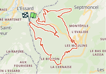

8.4 km | 12.3 km-effort


User


FREE GPS app for hiking
 SityTrail
IGN / Geographical institutes
SityTrail World
The world is yours!
Trail Walking of 14.9 km to be discovered at Bourgogne-Franche-Comté, Jura, Septmoncel les Molunes. This trail is proposed by sandra_leb.
Départ de l'Usine électrique,
cette randonnée est dans la catégorie très difficile car c'est l'enchainement de 2 KV de 500 qui sont à réaliser
Ca grimpe direct deé dans le pentu
les descentes se font avec des terrains moins techniques
La boucle est longue mais vaut le détour
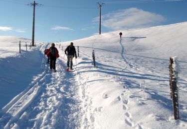
Snowshoes

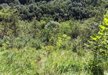
Walking

Walking

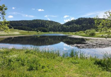
Running
Walking

Walking

Walking

Walking
Walking