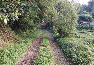
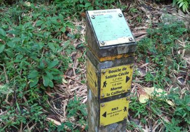
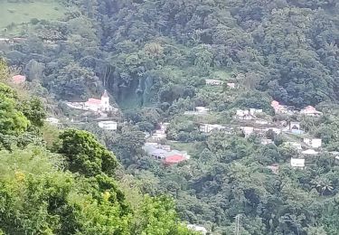
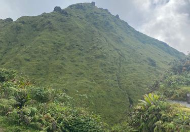
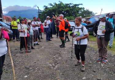
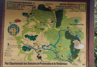
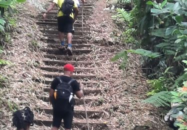
Trail Walking Le Morne-Rouge - Entre Ste-Césile et la Crête du Cournan  - Photo

Entre Ste-Césile et la Crête du Cournan

 Jo-Guide
Jo-Guide

User

© OpenStreetMap contributors
Length
Length
9.9 km
Max alt
Max alt
793 m
Uphill gradient
Uphill gradient
574 m
Km-Effort
Km-Effort  
17.5 km
Min alt
Min alt
320 m
Downhill gradient
Downhill gradient
553 m
Boucle
Boucle
No
Creation date :
2022-05-01 17:33:42.065
Updated on :
2022-05-01 17:36:27.237

(0 Reviews)

Walking
Walking
3h59
Difficulty : Difficult

Scan this QR Code to open this trail in the SityTrail application

FREE GPS app for hiking

Logo SityTrail SityTrail

IGN / Geographical institutes

Download SityTrail from the App Store Download SityTrail from Google Play

Logo SityTrail SityTrail World

The world is yours!

Download SityTrail from the App Store Download SityTrail from Google Play Download SityTrail on Huawei AppGallery

About

Trail Walking of 9.9 km to be discovered at Martinique, Unknown, Le Morne-Rouge. This trail is proposed by Jo-Guide.
Elevation profile

Positioning

Country:
France
Region :
Martinique
Department/Province :
Unknown
Municipality :
Le Morne-Rouge
Location:
Unknown
Start:(UTM)
702796 ; 1634829 (20P) N.

Trails nearby

Trail Walking Le Morne-Rouge - Mac Intoch - Morne Capot - Photo
Walking
GUIDE
Lamartiniere

Walking

Medium
(1)
Le Morne-Rouge, Martinique, Unknown, France
9.4 km | 14.9 km-effort
4h 53min
No
Trail sport Le Morne-Rouge - Boule cap 21 domaine de la vallée  - Photo
sport
GUIDE
manuelPerez

sport

Very easy
Le Morne-Rouge, Martinique, Unknown, France
9 km | 13.7 km-effort
Unknown
Yes
Trail Walking Le Lorrain - Boucle Morne Capot via La Pirogue - Photo
Walking
GUIDE
Lamartiniere

Walking

Medium
Le Lorrain, Martinique, Unknown, France
10.3 km | 14.4 km-effort
3h 30min
Yes
Trail Walking Le Morne-Rouge - Morne la Caillerie, Trace des Jésuites - Photo
Walking
GUIDE
David25400

Walking

Easy
Le Morne-Rouge, Martinique, Unknown, France
11.2 km | 18.2 km-effort
3h 55min
Yes
Trail Walking Fonds-Saint-Denis - Fonds st Denis  - Photo
Walking
GUIDE
GabyG

Walking

Difficult
Fonds-Saint-Denis, Martinique, Unknown, France
10 km | 15.2 km-effort
3h 11min
Yes
Trail Walking L'Ajoupa-Bouillon - Montagne pelée  - Photo
Walking
GUIDE
Alizée.pee

Walking

Difficult
L'Ajoupa-Bouillon, Martinique, Unknown, France
7.5 km | 16.5 km-effort
6h 2min
Yes
Trail Walking Le Lorrain - Fond capot oceanic fond cani morne Degras - Photo
Walking
GUIDE
manuelPerez

Walking

Le Lorrain, Martinique, Unknown, France
8.5 km | 11.9 km-effort
3h 44min
Yes
Trail Walking Le Lorrain - Mornes Capot / Lorrain Martinique - Photo
Walking
GUIDE
GabyG

Walking

Medium
(1)
Le Lorrain, Martinique, Unknown, France
8.5 km | 11.8 km-effort
3h 41min
Yes
Trail Walking Le Morne-Rouge - Crête du Cournan boucle - Photo
Walking
GUIDE
Lamartiniere

Walking

Medium
Le Morne-Rouge, Martinique, Unknown, France
4.2 km | 8.2 km-effort
2h 15min
Yes


Close
My subscriptions