


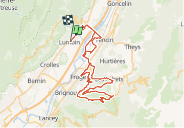

9.1 km | 18.6 km-effort


User


FREE GPS app for hiking
 SityTrail
IGN / Geographical institutes
SityTrail World
The world is yours!
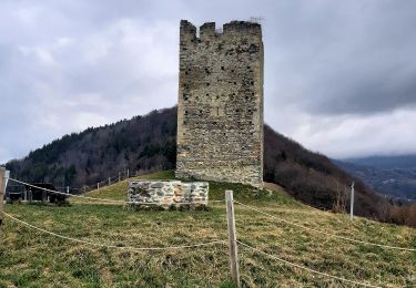
Trail Mountain bike of 44 km to be discovered at Auvergne-Rhône-Alpes, Isère, Lumbin. This trail is proposed by jm.lemore.
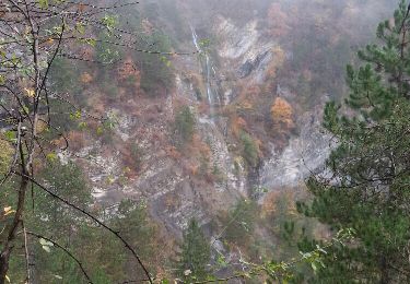
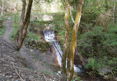
faite en VTTAE avec pic-nic au col du Lautaret. Vues exceptionnelles tout le long de la balade.
Il y a quelques passages très techniques, mais on peut les faire â pieds si on est limite.
Walking

Walking

Walking

Walking
Walking
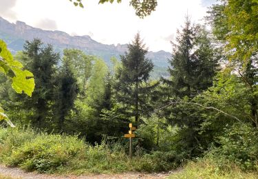
Walking
Walking
Walking
Walking