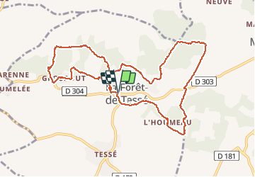
Trail Walking La Forêt-de-Tessé - La rando des Châtaignés centenaires - Photo

La rando des Châtaignés centenaires

© OpenStreetMap contributors
Length
Length
11.8 km
Max alt
Max alt
152 m
Uphill gradient
Uphill gradient
110 m
Km-Effort
Km-Effort  
13.2 km
Min alt
Min alt
125 m
Downhill gradient
Downhill gradient
110 m
Boucle
Boucle
Yes
Creation date :
2014-12-10 00:00:00.0
Updated on :
2014-12-10 00:00:00.0

(1 Reviews)

Walking
Walking
3h21
Difficulty : Easy

Scan this QR Code to open this trail in the SityTrail application

FREE GPS app for hiking

Logo SityTrail SityTrail

IGN / Geographical institutes

Download SityTrail from the App Store Download SityTrail from Google Play

Logo SityTrail SityTrail World

The world is yours!

Download SityTrail from the App Store Download SityTrail from Google Play Download SityTrail on Huawei AppGallery

About

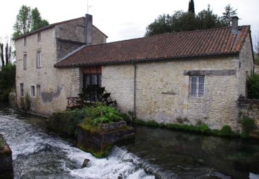
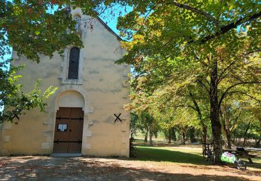
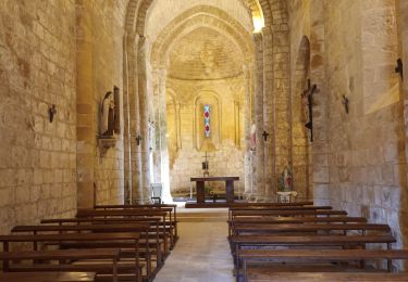
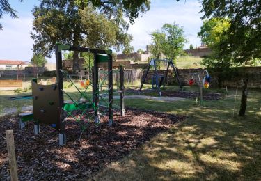
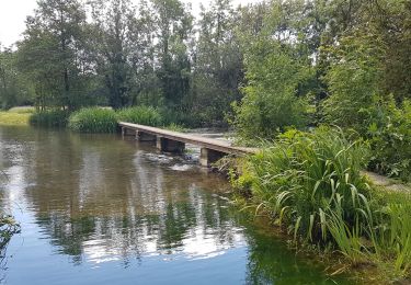
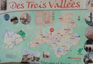
Trail Walking of 11.8 km to be discovered at New Aquitaine, Charente, La Forêt-de-Tessé. This trail is proposed by alainjoseph6.

Description

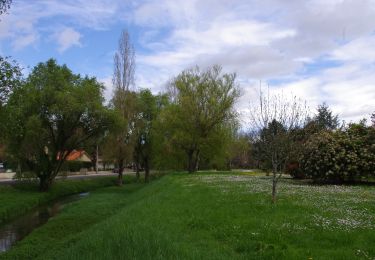
Facile , trés ombragé

Elevation profile

Photos

Positioning

Country:
France
Region :
New Aquitaine
Department/Province :
Charente
Municipality :
La Forêt-de-Tessé
Location:
Unknown
Start:(UTM)
274420 ; 5107122 (31T) N.

Comments

Please log in to post a review or rate the element


Trails nearby

Trail Mountain bike Villefagnan - Chassagne camping Melle - Photo
Mountain bike
LUCQUIAUD Jean-Michel

Mountain bike

Difficult
Villefagnan, New Aquitaine, Charente, France
62 km | 68 km-effort
5h 58min
No
Trail Hybrid bike Condac - rejellant chassane - Photo
Hybrid bike
LUCQUIAUD Jean-Michel

Hybrid bike

Easy
Condac, New Aquitaine, Charente, France
17.5 km | 19.6 km-effort
5h 11min
No
Trail Mountain bike Nanteuil-en-Vallée - Nanteuil en Vallée  Rejalland - Photo
Mountain bike
LUCQUIAUD Jean-Michel

Mountain bike

Medium
Nanteuil-en-Vallée, New Aquitaine, Charente, France
22 km | 25 km-effort
2h 2min
No
Trail Walking Tusson - La randonnée de Tusson - Photo
Walking
alainjoseph6

Walking

Easy
Tusson, New Aquitaine, Charente, France
8.4 km | 9.5 km-effort
3h 12min
Yes
Trail Walking Lichères - 16 - LICHERES - Photo
Walking
AndreLACOMBE

Walking

Very easy
Lichères, New Aquitaine, Charente, France
8.8 km | 9.9 km-effort
4h 18min
Yes
Trail Walking Saint-Georges - La rando de St GEORGES 16700 - Photo
Walking
alainjoseph6

Walking

Easy
Saint-Georges, New Aquitaine, Charente, France
7.9 km | 8.9 km-effort
2h 28min
Yes
Trail Walking Ruffec - Ruffec_Logis - Photo
Walking
neoroll44

Walking

Medium
Ruffec, New Aquitaine, Charente, France
17.3 km | 19.7 km-effort
4h 20min
Yes
Trail Walking Condac - Condac - Photo
Walking
neoroll44

Walking

Medium
Condac, New Aquitaine, Charente, France
11.2 km | 13.1 km-effort
3h 0min
Yes
Trail Walking Ruffec - Ruffec_Forêt - Photo
Walking
neoroll44

Walking

Easy
Ruffec, New Aquitaine, Charente, France
8.5 km | 10 km-effort
2h 20min
Yes


Close
My subscriptions