22 km | 28 km-effort
SNS 8 BAUCHE
Patrick Martinus
User
Length
8.1 km
Max alt
288 m
Uphill gradient
286 m
Km-Effort
12 km
Min alt
120 m
Downhill gradient
288 m
Boucle
Yes
Creation date :
2022-05-01 07:22:47.132
Updated on :
2022-05-01 07:24:30.772
2h43
Difficulty : Medium
FREE GPS app for hiking
About
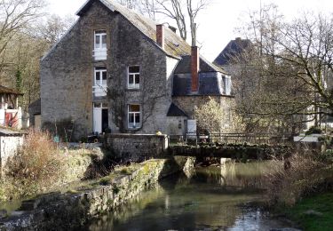
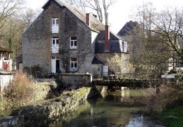
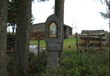
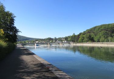
Trail Walking of 8.1 km to be discovered at Wallonia, Namur, Yvoir. This trail is proposed by Patrick Martinus.
Positioning
Country:
Belgium
Region :
Wallonia
Department/Province :
Namur
Municipality :
Yvoir
Location:
Unknown
Start:(Dec)
Start:(UTM)
637347 ; 5577574 (31U) N.
Comments
Trails nearby
GG-Na-19_ Lustin - Namur
Walking
Very difficult
(13)
Profondeville,
Wallonia,
Namur,
Belgium
6h 7min
No
RB-Na-21-Terres seigneuriales et carrières de la vallée du Bocq
Walking
Very difficult
(6)
Yvoir,
Wallonia,
Namur,
Belgium
22 km | 30 km-effort
6h 51min
Yes
RB-Na-20-Raccourci-2_Paysages_entre_Meuse_et_Burnot
Walking
Very difficult
(11)
Profondeville,
Wallonia,
Namur,
Belgium
14.6 km | 22 km-effort
4h 53min
Yes
RB-Na-20-Paysages_entre_Meuse_et_Burnot
Walking
Very difficult
(16)
Profondeville,
Wallonia,
Namur,
Belgium
18.5 km | 26 km-effort
5h 55min
Yes
RB-Na-02 Raccourci - Les collines de la vallée du Bocq
Walking
Medium
(7)
Assesse,
Wallonia,
Namur,
Belgium
17 km | 23 km-effort
5h 32min
Yes
RB-Na-02 Les collines de la vallée du Bocq
Walking
Medium
(21)
Assesse,
Wallonia,
Namur,
Belgium
21 km | 28 km-effort
5h 32min
Yes
RB-Na-03 Forteresses, citadelle et abbaye mosanes
Walking
Difficult
(11)
Yvoir,
Wallonia,
Namur,
Belgium
22 km | 30 km-effort
7h 1min
Yes
05 Paysage condruzien
Walking
Easy
(5)
Assesse,
Wallonia,
Namur,
Belgium
10.2 km | 13.3 km-effort
2h 11min
No
GG2-Na-38_Godinne-Dinant (2021-11-04)
Walking
Very difficult
(6)
Yvoir,
Wallonia,
Namur,
Belgium
19.5 km | 27 km-effort
6h 13min
No