9.9 km | 10.5 km-effort
pont à cailloux 2
lpa0174
User
Length
7.6 km
Max alt
15 m
Uphill gradient
31 m
Km-Effort
8 km
Min alt
1 m
Downhill gradient
31 m
Boucle
Yes
Creation date :
2022-04-30 15:48:35.936
Updated on :
2022-04-30 15:48:37.325
1h49
Difficulty : Medium
FREE GPS app for hiking
About
Trail Walking of 7.6 km to be discovered at Hauts-de-France, Somme, Quend. This trail is proposed by lpa0174.
Description
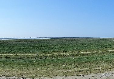
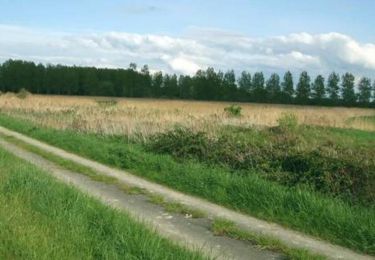
rando très agréable, la première partie jusqu’au port de la mamelon est submergée aux grande marées, tout le reste est un chemin empierre
Positioning
Country:
France
Region :
Hauts-de-France
Department/Province :
Somme
Municipality :
Quend
Location:
Unknown
Start:(Dec)
Start:(UTM)
403335 ; 5578433 (31U) N.
Comments
Trails nearby
Tour de Groffliers
On foot
Easy
Groffliers,
Hauts-de-France,
Pas-de-Calais,
France
12.1 km | 12.7 km-effort
2h 52min
No
Conchil-le-Temple/Fort-Mahon
Road bike
Easy
(1)
Conchil-le-Temple,
Hauts-de-France,
Pas-de-Calais,
France
10.7 km | 11.3 km-effort
1h 0min
No
dixk-mônchaux
Walking
Medium
Quend,
Hauts-de-France,
Somme,
France
11.4 km | 12 km-effort
2h 17min
No
Le Colombier
On foot
Easy
Quend,
Hauts-de-France,
Somme,
France
9.9 km | 10.4 km-effort
2h 22min
Yes
rando autour de Berck via la côte.
Walking
Very easy
Groffliers,
Hauts-de-France,
Pas-de-Calais,
France
16.9 km | 18 km-effort
3h 42min
Yes
Le Tour de Groffliers à pied
Walking
Medium
Waben,
Hauts-de-France,
Pas-de-Calais,
France
11.9 km | 12.5 km-effort
2h 55min
Yes
LP80_Conchil-Le-Temple_6km
Walking
Medium
Conchil-le-Temple,
Hauts-de-France,
Pas-de-Calais,
France
6.1 km | 6.3 km-effort
1h 26min
Yes
Bibine jacinthe VERCOURT
Horseback riding
Easy
Vercourt,
Hauts-de-France,
Somme,
France
10 km | 10.7 km-effort
1h 2min
No