


maturin
User

Length
9.1 km

Max alt
2880 m

Uphill gradient
1421 m

Km-Effort
24 km

Min alt
1524 m

Downhill gradient
72 m
Boucle
No
Creation date :
2014-12-10 00:00:00.0
Updated on :
2014-12-10 00:00:00.0
2h50
Difficulty : Unknown

FREE GPS app for hiking
About
Trail Winter sports of 9.1 km to be discovered at Valais/Wallis, Sierre, Crans-Montana. This trail is proposed by maturin.
Description
Une jolie alternative pour monter à la Plaine-Morte.
A faire de préférence de bon matin, les parois du couloir sont assez pentues et bien orientées vers le sud.
Attention aux coulées de neige.
Positioning
Country:
Switzerland
Region :
Valais/Wallis
Department/Province :
Sierre
Municipality :
Crans-Montana
Location:
Mollens (VS)
Start:(Dec)
Start:(UTM)
386542 ; 5132011 (32T) N.
Comments
Trails nearby
Sentier de Huiton


Walking
Very easy
(2)
Crans-Montana,
Valais/Wallis,
Sierre,
Switzerland

7.1 km | 10.9 km-effort
2h 17min
No
Tour des villages


Mountain bike
Very easy
(1)
Crans-Montana,
Valais/Wallis,
Sierre,
Switzerland

23 km | 35 km-effort
3h 0min
Yes
Montagne du Plan - Trubelstock


On foot
Easy
Crans-Montana,
Valais/Wallis,
Sierre,
Switzerland

3.8 km | 12.5 km-effort
2h 50min
No
Cran - Er de Chermignon (Ancien bisse du Ro)


On foot
Easy
Lens,
Valais/Wallis,
Sierre,
Switzerland

6.1 km | 11.5 km-effort
2h 37min
No
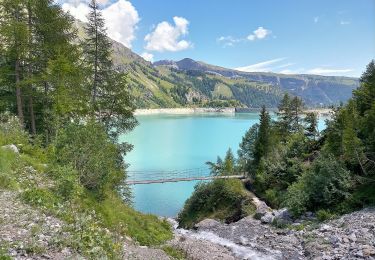
Er de Chermignon-Pra du Taillour


On foot
Easy
Icogne,
Valais/Wallis,
Sierre,
Switzerland

6.4 km | 10.2 km-effort
2h 19min
No
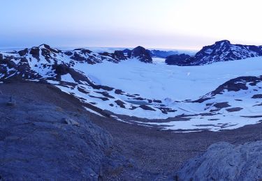
Plaine Morte-Les Violettes


On foot
Easy
Crans-Montana,
Valais/Wallis,
Sierre,
Switzerland

4.5 km | 11.5 km-effort
2h 36min
No

Sierre à Chandolin


Walking
Very easy
(1)
Sierre,
Valais/Wallis,
Sierre,
Switzerland

11.5 km | 28 km-effort
7h 24min
No
Tour Hauts de Crans


Mountain bike
Very easy
Crans-Montana,
Valais/Wallis,
Sierre,
Switzerland

7.8 km | 11.3 km-effort
1h 30min
Yes
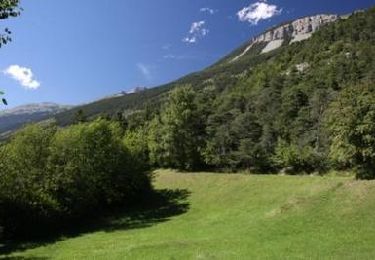
Bisse Neuf and Bisse de Varen


Walking
Very easy
Noble-Contrée,
Valais/Wallis,
Sierre,
Switzerland

10.5 km | 14.8 km-effort
3h 35min
No


 SityTrail


