17.4 km | 24 km-effort
Montclus petite boucle.
aitkhedache
User
Length
9.7 km
Max alt
310 m
Uphill gradient
334 m
Km-Effort
14.1 km
Min alt
85 m
Downhill gradient
335 m
Boucle
Yes
Creation date :
2022-04-27 07:36:40.0
Updated on :
2022-04-27 14:11:54.489
5h56
Difficulty : Easy
FREE GPS app for hiking
About
Trail Walking of 9.7 km to be discovered at Occitania, Gard, Montclus. This trail is proposed by aitkhedache.
Description
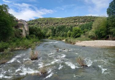
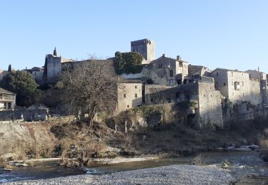
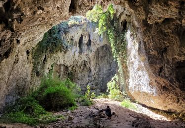
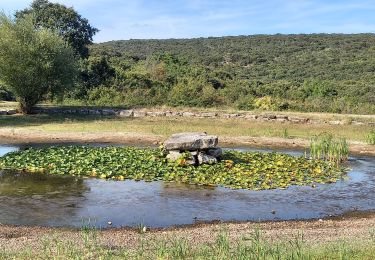
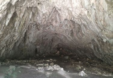
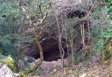
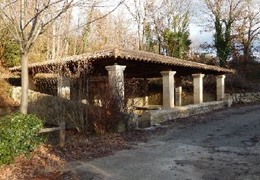
Randonnée facile, belle promenade familiale.
Positioning
Country:
France
Region :
Occitania
Department/Province :
Gard
Municipality :
Montclus
Location:
Unknown
Start:(Dec)
Start:(UTM)
613391 ; 4902046 (31T) N.
Comments
Trails nearby
Montclus - St André de Roquepertuis
Walking
Difficult
(1)
Saint-André-de-Roquepertuis,
Occitania,
Gard,
France
5h 0min
Yes
grotte Aven de Peyre haute
Walking
Very easy
(1)
Méjannes-le-Clap,
Occitania,
Gard,
France
3.6 km | 4.6 km-effort
1h 13min
Yes
Gorges de l'Ardèche
Walking
Difficult
Le Garn,
Occitania,
Gard,
France
17.8 km | 26 km-effort
5h 59min
Yes
montclus le dent de serret
Walking
Medium
Montclus,
Occitania,
Gard,
France
15.7 km | 23 km-effort
4h 50min
Yes
Dent du Serret
Walking
Difficult
Méjannes-le-Clap,
Occitania,
Gard,
France
23 km | 32 km-effort
6h 29min
Yes
Méjane le Clap-la Ceze
Walking
Medium
Méjannes-le-Clap,
Occitania,
Gard,
France
15 km | 20 km-effort
4h 51min
Yes