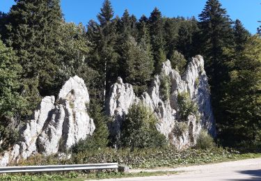
40 km | 53 km-effort
Les Alliés/Pontarlier2
SCHAKUB
User
Length
16.8 km
Max alt
1112 m
Uphill gradient
450 m
Km-Effort
23 km
Min alt
827 m
Downhill gradient
624 m
Boucle
No
Creation date :
2021-10-02 22:40:01.169
Updated on :
2022-04-26 20:26:38.659
4h59
Difficulty : Very difficult
FREE GPS app for hiking
About
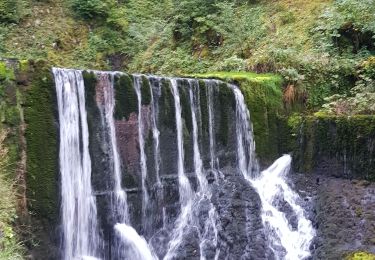
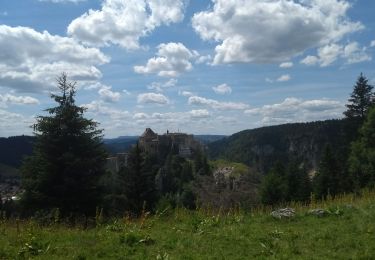
Trail Walking of 16.8 km to be discovered at Bourgogne-Franche-Comté, Doubs, Les Alliés. This trail is proposed by SCHAKUB.
Positioning
Country:
France
Region :
Bourgogne-Franche-Comté
Department/Province :
Doubs
Municipality :
Les Alliés
Location:
Unknown
Start:(Dec)
Start:(UTM)
305666 ; 5202715 (32T) N.
Comments
Trails nearby
favrotte 2013
Mountain bike
Medium
(2)
Pontarlier,
Bourgogne-Franche-Comté,
Doubs,
France
3h 42min
Yes
j4
Mountain bike
Very difficult
Hauterive-la-Fresse,
Bourgogne-Franche-Comté,
Doubs,
France
64 km | 88 km-effort
5h 11min
No
GTJ Etape 9 : les Alliés - la Cluse et Mijoux
Walking
Medium
Les Alliés,
Bourgogne-Franche-Comté,
Doubs,
France
19.9 km | 27 km-effort
6h 20min
No
Le grand Taureau
Walking
Difficult
Les Verrières,
Neuchâtel,
Unknown,
Switzerland
21 km | 30 km-effort
5h 35min
Yes
Le grand Taureau
Walking
Difficult
Les Verrières,
Neuchâtel,
Unknown,
Switzerland
21 km | 30 km-effort
5h 35min
Yes
Le grand Taureau
Walking
Difficult
Les Verrières,
Neuchâtel,
Unknown,
Switzerland
21 km | 30 km-effort
5h 35min
Yes
vujn
Horseback riding
Medium
Pontarlier,
Bourgogne-Franche-Comté,
Doubs,
France
17.2 km | 23 km-effort
3h 8min
No
hauterive
Mountain bike
Medium
Hauterive-la-Fresse,
Bourgogne-Franche-Comté,
Doubs,
France
18.1 km | 26 km-effort
1h 58min
Yes
GTJ jour 7
Walking
Medium
Les Alliés,
Bourgogne-Franche-Comté,
Doubs,
France
13.9 km | 19.3 km-effort
4h 20min
No