


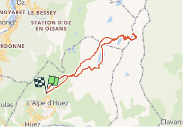

8.8 km | 18 km-effort

User GUIDE


FREE GPS app for hiking
 SityTrail
IGN / Geographical institutes
SityTrail World
The world is yours!
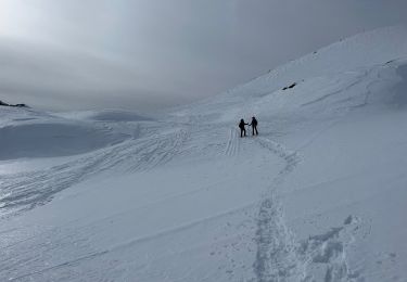
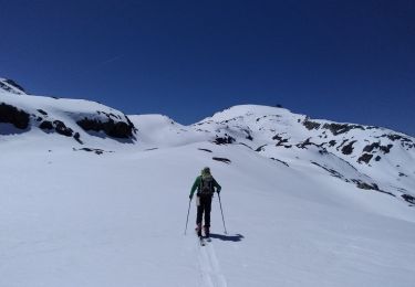
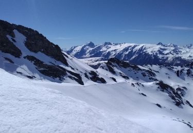
Trail Touring skiing of 16.6 km to be discovered at Auvergne-Rhône-Alpes, Isère, Huez. This trail is proposed by nadd73.
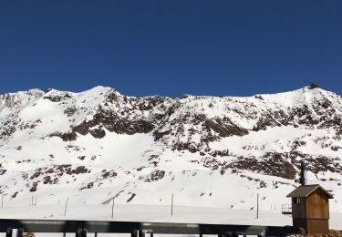
Alpe d'Huez au pied du téléphérique.
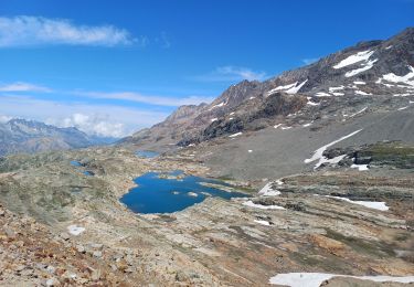
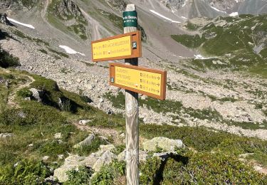
Arrivée au lac Blanc le mieux est de prendre le sentier pédestre rive droite.
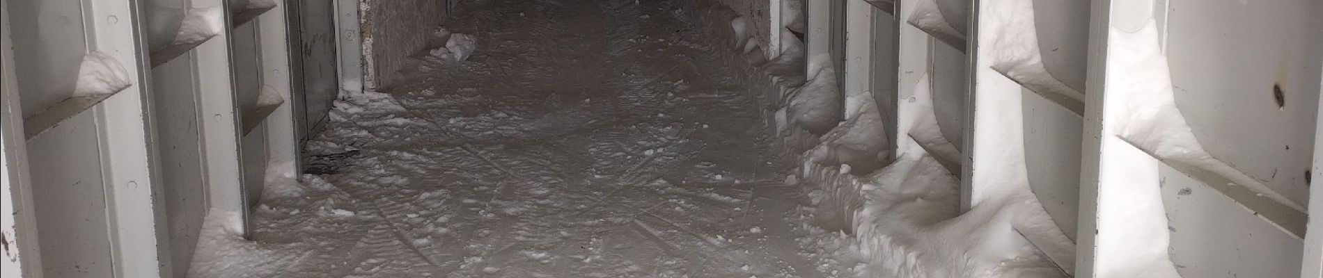
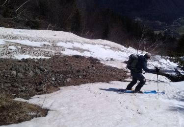
La montée au tunnel est un peu raide et il faut de la neige.


Walking
Walking
Snowshoes
Touring skiing
Touring skiing
Touring skiing
Touring skiing
Walking

sport