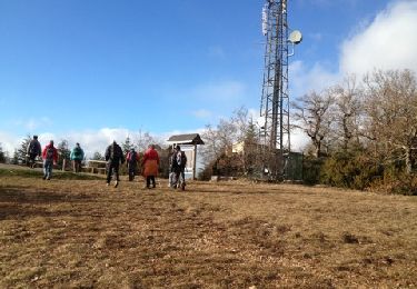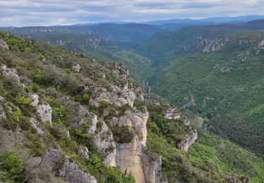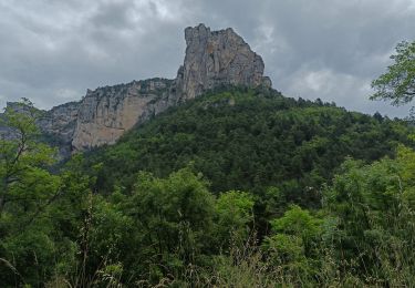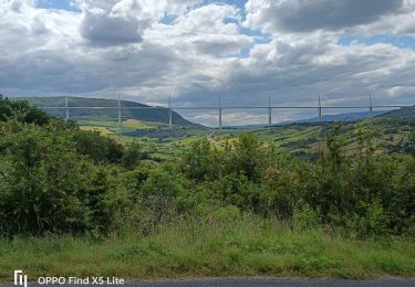

MASSEBIAU retracé

CASSISFRAMBOISE
User

Length
16.6 km

Max alt
794 m

Uphill gradient
530 m

Km-Effort
24 km

Min alt
365 m

Downhill gradient
532 m
Boucle
Yes
Creation date :
2022-04-25 17:05:01.429
Updated on :
2022-10-11 19:34:22.867
5h23
Difficulty : Medium

FREE GPS app for hiking
About
Trail On foot of 16.6 km to be discovered at Occitania, Aveyron, Millau. This trail is proposed by CASSISFRAMBOISE.
Description
départ de Massebiau ; on se gare près du pont béton, sur la Dourbie. On passe en rive gauche.
Attention: ce tracé est approximatif .
Positioning
Country:
France
Region :
Occitania
Department/Province :
Aveyron
Municipality :
Millau
Location:
Unknown
Start:(Dec)
Start:(UTM)
510328 ; 4883214 (31T) N.
Comments
Trails nearby

les cades


Walking
Very easy
(1)
Millau,
Occitania,
Aveyron,
France

10.3 km | 13.8 km-effort
2h 54min
Yes

le chaos de Caoussou


Walking
Difficult
Millau,
Occitania,
Aveyron,
France

14.1 km | 17.9 km-effort
4h 4min
Yes

le puech d'Andan(Millau)


Walking
Medium
(1)
Millau,
Occitania,
Aveyron,
France

11 km | 18 km-effort
3h 45min
Yes

millau. massebiau


Walking
Very easy
(2)
Millau,
Occitania,
Aveyron,
France

15.6 km | 19.8 km-effort
2h 48min
No

Millau gorges de la Jonte et gorges du Tarn


Electric bike
Medium
Millau,
Occitania,
Aveyron,
France

56 km | 68 km-effort
4h 10min
No

Millau= Saint Rome de Tarn=Saint Georges de Luzencon retour par la voie verte...


Electric bike
Medium
Millau,
Occitania,
Aveyron,
France

51 km | 61 km-effort
4h 42min
No

Millau gorges de la Dourbie


Electric bike
Medium
Millau,
Occitania,
Aveyron,
France

72 km | 88 km-effort
5h 43min
No

forêt des Cades Millau


Walking
Difficult
(1)
Millau,
Occitania,
Aveyron,
France

9.6 km | 13.3 km-effort
3h 1min
Yes


 SityTrail


