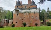

Rambures - Château & Campagne

Luberon1963
User

Length
6.7 km

Max alt
158 m

Uphill gradient
42 m

Km-Effort
7.3 km

Min alt
136 m

Downhill gradient
42 m
Boucle
Yes
Creation date :
2022-04-24 10:18:06.219
Updated on :
2022-05-10 19:52:12.309
2h02
Difficulty : Very easy

FREE GPS app for hiking
About
Trail Walking of 6.7 km to be discovered at Hauts-de-France, Somme, Rambures. This trail is proposed by Luberon1963.
Description
Départ à partir du parking visiteurs du château.
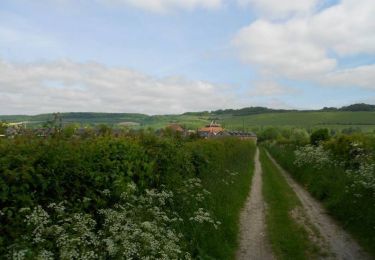
Petite rando sympa autour du village de Rambures, à combiner avec la visite du château, de son parc et de sa roseraie.
Parcours aisé; plat.
Positioning
Country:
France
Region :
Hauts-de-France
Department/Province :
Somme
Municipality :
Rambures
Location:
Unknown
Start:(Dec)
Start:(UTM)
407362 ; 5533338 (31U) N.
Comments
Trails nearby
Circuit des Etangs


On foot
Easy
Nesle-Normandeuse,
Normandy,
Seine-Maritime,
France

4.3 km | 4.9 km-effort
1h 6min
Yes
Circuit des étangs (N° 6) - Nesle-Normandeuse


Equestrian
Easy
Blangy-sur-Bresle,
Normandy,
Seine-Maritime,
France

3.9 km | 4.5 km-effort
40min
Yes
Circuit des étangs (N° 6) - Nesle-Normandeuse


Mountain bike
Easy
Blangy-sur-Bresle,
Normandy,
Seine-Maritime,
France

3.9 km | 4.5 km-effort
19min
Yes
Circuit des étangs (N° 6) - Nesle-Normandeuse


Walking
Easy
(1)
Blangy-sur-Bresle,
Normandy,
Seine-Maritime,
France

3.9 km | 4.5 km-effort
1h 0min
Yes
Rambures 12 km autour du château


Walking
Very easy
Rambures,
Hauts-de-France,
Somme,
France

12.6 km | 13.5 km-effort
3h 9min
Yes


 SityTrail


