


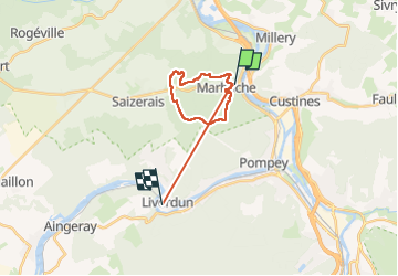

29 km | 35 km-effort


User


FREE GPS app for hiking
 SityTrail
IGN / Geographical institutes
SityTrail World
The world is yours!
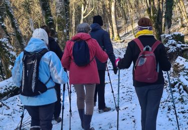
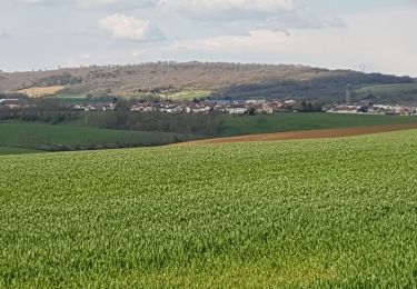
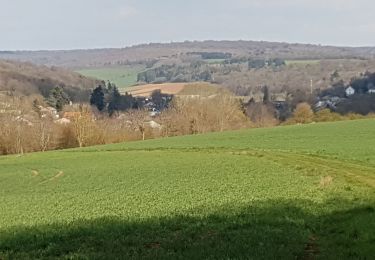
Trail Nordic walking of 18.1 km to be discovered at Grand Est, Meurthe-et-Moselle, Marbache. This trail is proposed by Sophie Laurent.
Belle randonnée avec chemin varié et possibilité de faire une pause à la maison forestière à mi-parcours. Niveau difficile car deux belles montées sont une au début du parcours.
Cycle

Mountain bike
Walking
Mountain bike

On foot

Walking
Walking
Walking
Walking